How to Read the Weather Forecast on Kilimanjaro
By Sabinus Msimba, Senior Kilimanjaro Guide, Kilimania Adventure · Published 3 July 2024 · Last reviewed: October 2026
Sources: Kilimania guide field experience; Tanzania Meteorological Authority; US National Weather Service; UNESCO. This page does not show live conditions. It explains how to read the forecasts that do.
The short answer
The weather on Kilimanjaro has no single forecast, because conditions change with elevation, exposure and time of day. To check the weather before a climb, use a mountain forecast set to the elevation you will be at, such as a high camp or the summit, not a forecast for Moshi. Read wind, precipitation type and freezing level together, note when the forecast was issued, and treat it as a planning guide. Your guides weigh it against what they see on the day.
Quick answer: check the weather in 3 steps
- Choose a forecast for the elevation of your camp or the summit, not for Moshi.
- Read wind, precipitation, cloud and freezing level together, and note when the forecast was issued and how long it is valid.
- Review it in the days before departure and at your briefing, then follow your guides’ decisions on the mountain.
Contents
- Why a Moshi forecast is not enough
- How to read a Kilimanjaro forecast
- Where to check the forecast
- How reliable are mountain forecasts?
- The daily weather pattern on the mountain
- Weather events and how guides decide
- Weather is not the only factor
- Forecast checklist and questions for your operator
- Does a longer itinerary mean better weather?
- Frequently asked questions
- The takeaway
Why a Moshi forecast is not enough
Moshi sits below 1,000 m. Uhuru Peak stands at 5,895 m (UNESCO). Across a difference of nearly 5,000 m, temperature, wind, cloud and the type of precipitation can all change, and a climb crosses several climate zones in a few days. (Zones and seasons are covered on the Kilimanjaro weather page.)
A forecast for Moshi, Arusha or “Kilimanjaro” in general describes the place it was calculated for. It may not represent a particular camp or the summit. Rain in town can fall as hail or snow higher up, and a clear morning in Moshi can sit beneath cloud on the mountain. For summit conditions, a town forecast is a poor guide.
How to read a Kilimanjaro forecast
Start with the elevation
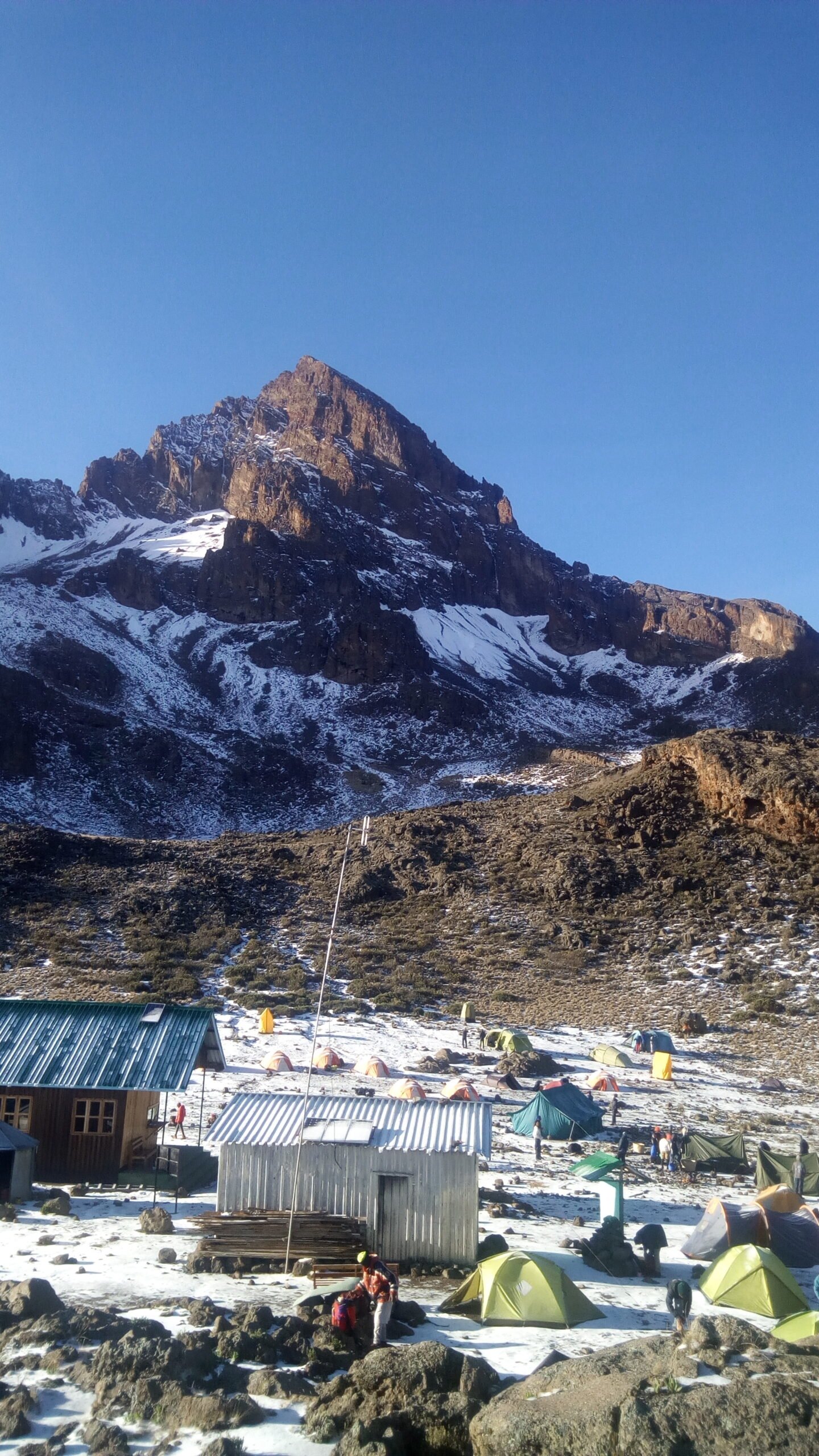
Pick the forecast level closest to where you will be: the lower forest and moorland (roughly 3,000 m), the high camps (roughly 4,600 m) and the summit. Where a service cannot give a forecast for your exact camp, use the nearest elevation and allow for the difference.
Then read the variables together
- Air temperature: the measured warmth of the air. The temperature page has camp-by-camp figures.
- Wind speed and gusts: sustained wind and short bursts. Gusts matter on exposed ridges and the crater rim.
- Wind chill: how cold exposed skin feels once wind carries heat away. It is colder than the air temperature alone suggests.
- Precipitation type and probability: rain, hail or snow, and the chance of it occurring. A probability is not an amount.
- Cloud cover and visibility: thick cloud or fog affects navigation, pace and views.
- Freezing level: the height at which the air reaches 0 °C. Compare it with your camp’s height to see whether rain may turn to hail or snow.
- Issue time and valid period: when the forecast was produced and what time it covers. Older forecasts lose value.
- Confidence: some tools show a range or more than one model. A wide spread means more uncertainty.
No single number decides whether a climb is safe. A calm, dry forecast does not remove the risks of altitude, and a poor one does not by itself mean a climb must stop.
Where to check the forecast
No single source is complete. Using two or more gives a more balanced picture, and none replaces what your guides observe.
| Source | What it shows | Elevation-specific? | Good for | Limitation |
|---|---|---|---|---|
| Tanzania Meteorological Authority | National forecasts, warnings and seasonal outlooks from Tanzania’s official weather service | Mainly regional. Check whether any product is specific to the mountain | Seasonal outlooks and official weather warnings | A regional forecast does not describe a particular camp or the summit |
| mountain-forecast.com | Forecasts for several elevations of Mount Kilimanjaro, with an outlook of about six days. Check the page for the variables it displays | Yes. The page lists several elevations, which may not match your camps | Comparing conditions at different heights over the next few days | Computer-model output. Local cloud and showers can differ, and a short outlook cannot cover a trip planned weeks ahead |
| A phone weather app set to a town | Conditions calculated for the town, not the mountain | No | Your arrival, transfers and the morning before the climb | Not a reliable guide to conditions above the forest |
| Your guide team and park staff | What the sky, wind and trail are doing, plus any updates the team receives | Yes, for where the group is | Decisions on the day that no forecast can make | How updates reach a team differs by operator. Ask before you book |
How reliable are mountain forecasts?
Reliability varies with lead time, location, elevation and the resolution of the model behind the forecast. As a general rule, broad patterns such as a wetter or windier spell are more dependable than the timing of a particular shower, and confidence falls the further ahead you look. The mountain also builds its own local cloud, which a forecast calculated over a wide area can miss.
That is why a forecast works best as a preparation tool. It helps you decide what to pack and what to ask your guides. It does not tell you what a specific camp will be like on a specific night, and it should never be the only input to a summit decision. Seasonal patterns, including the rainy seasons, are covered on the weather page.
The daily weather pattern on the mountain
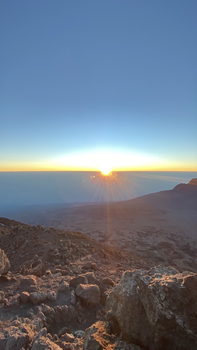
Many days follow a loose rhythm, though it varies by season and some days break it completely. The description below comes from guiding experience, not from meteorological records. Treat it as a typical day, not a timetable.
| Time of day | What often happens | What it means for you |
|---|---|---|
| Dawn | Frequently clearer and colder, with frost possible at higher camps | A good time for views of the summit. Start in warm layers |
| Mid-morning | The sun warms the slopes and cloud may begin to form on the lower mountain | Good walking conditions. Remove a layer before you sweat |
| Midday | Cloud can thicken over the forest and moorland | Views may close in. Keep your waterproof jacket within reach |
| Afternoon | Mist or showers are possible on the lower and middle sections, and hail higher up | Wet trails and a drop in temperature. Put on rain gear at the first drops |
| Sunset | Cloud may thin or sink below higher camps while the air cools quickly | Change out of damp clothing and add insulation |
| Night | Often clear and cold at altitude, with temperatures near or below freezing high on the mountain | Cold sleeping conditions. Summit-night detail is on the summit night page |
Climbing soon?
If you’d like to talk through your dates, send us a message and the team will reply within 12 hours, 7 days a week (EAT). You can also look at open group departures on the Kilimanjaro joining-climb dates page.
Weather events and how guides decide
The table lists weather events climbers commonly meet and what guide teams usually weigh. It describes general mountain practice, not a fixed procedure, and operators differ. Use it as a list of topics to raise with yours.
| Event | Where it can happen | Risk | What guides commonly consider or do | What you do |
|---|---|---|---|---|
| Forest rain | Rainforest and lower moorland | Slippery trail, wet clothing, getting cold later | Adjust pace, watch footing on mud and roots, make sure rain gear is accessible | Put on waterproofs at the first drops and keep sleeping clothes dry |
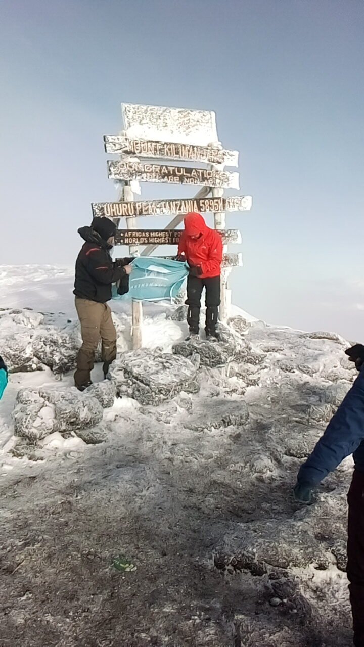
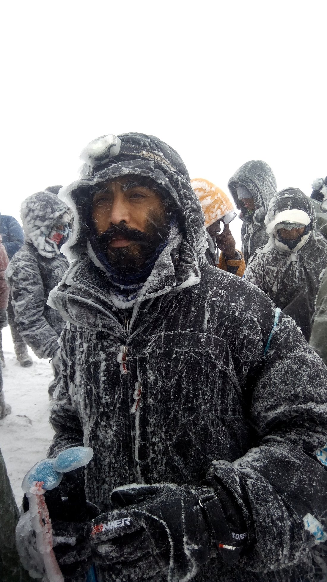
| Hail or snow | Higher moorland, alpine desert and the high camps | Reduced grip, cold hands and feet, faster heat loss | Slow the group, add layers, and may wait at camp until it eases | Add insulation and gloves early and tell your guide if fingers or toes go numb |
| High wind | Exposed ridges, Stella Point to Uhuru Peak and the crater rim | Wind chill, loss of balance, tiredness | Weigh wind, visibility and the group’s condition, and may pause, shorten time on the rim or turn back | Cover exposed skin and follow instructions on when to stop |
| Lightning | Anywhere there is thunderstorm cloud, particularly on exposed high ground | Direct strike or ground current | Move away from exposed high points, as general US National Weather Service lightning guidance advises, and choose the safest option available | Follow your guide’s instructions at once and do not stay on open ridges |
| Fog or poor visibility | Moorland, the Shira Plateau and anywhere cloud meets the trail | Losing the group or the path | Keep the group together and slow the pace | Stay within sight of the person ahead and do not wander off alone |
| Clear but very cold conditions | Alpine desert and the summit zone, mostly at night | Cold injury, even with no rain | Check layers, hands and pace before and during the climb | Dress for the cold you will feel when you stop. See the temperature page for layering |
Who decides?
Your guide team makes the on-mountain safety decisions, working within park guidance. Depending on conditions and the group, they may continue carefully, wait, change the plan, turn back or descend. No single wind speed or temperature number decides this, and this page does not set one. Never make a high-risk decision from a phone app alone, and follow your guides’ instructions even when a forecast looks favourable. If a climb does not reach the summit, here is what happens next.
Weather is not the only factor
A forecast cannot predict or prevent altitude illness. Cold, wind and wet clothing add to physical strain, but the climber’s own condition matters just as much as the sky. Tell your guide promptly about a worsening headache, nausea, unusual tiredness, confusion or any symptom that concerns you, because severe or worsening symptoms need proper assessment. The altitude sickness guide and the safety page cover this in detail.
Forecast checklist and questions for your operator
About two weeks before departure
- Use the seasonal pattern and any regional outlook only as a broad indication. Elevation forecasts usually cover just a few days, so check what window your tool offers.
- Check your gear against the packing list and replace anything that is not waterproof.
Several days before
- Open an elevation forecast and compare wind, precipitation type and freezing level for your camps and the summit.
- Test your boots and rain gear, and save the forecast offline, because signal on the mountain can be patchy.
The day before, and on the mountain
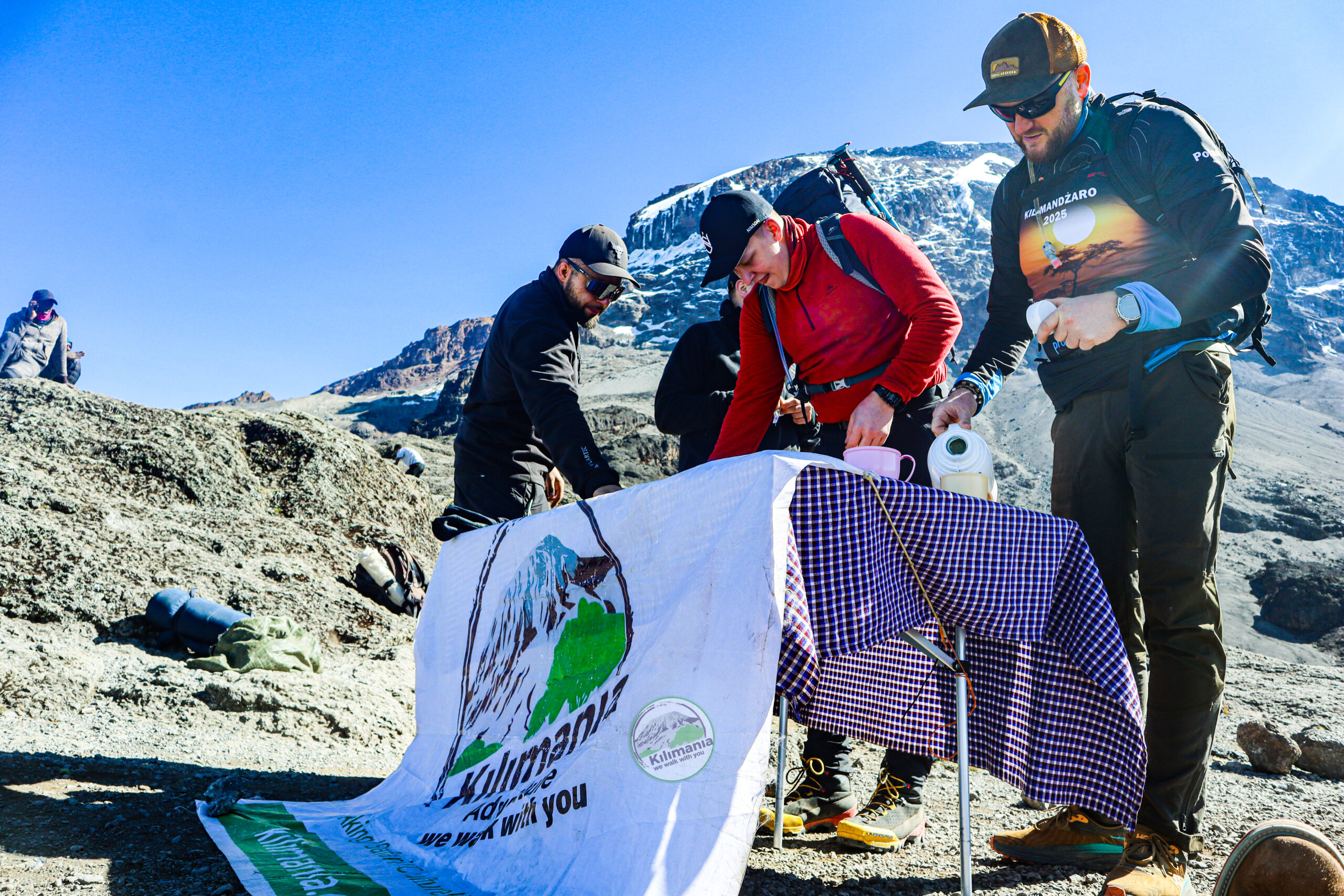
- Ask what weather information the team will share at your briefing.
- Check the latest forecast alongside your guides’ observations, and follow their guidance on layers, pace and timing.
- Speak up early about cold, wet clothing or any symptoms. Pole pole, slowly slowly, is a good rule for decisions as well as pace.
Questions to ask any operator
- How do your guides receive weather updates on the mountain?
- Who makes the final decision to continue, wait or turn back?
- What happens to the itinerary, and to any cost, if weather causes a delay?
- What weather information do climbers receive at the briefing?
Does a longer itinerary mean better weather?
No. A longer itinerary can allow more time to acclimatise and some flexibility if the schedule needs to change, but it does not change the weather or prevent altitude illness. Routes also approach the mountain from different sides, and rainfall differs between them, which is covered on the weather page. If you are comparing options, start with the route comparison, then look at itineraries such as the 9-day Northern Circuit, the 8-day Lemosho, the 7-day Machame or the 6-day Rongai. The complete Kilimanjaro climbing guide covers wider planning.
Frequently asked questions
How do I check the Kilimanjaro weather forecast?
Use a mountain forecast that lets you choose an elevation, such as a high camp or the summit, rather than a forecast for Moshi. Read wind, precipitation, cloud and freezing level together, and note when it was issued. Check again before departure and treat it as a planning guide alongside your guides’ observations.
Which elevation should I use when checking a forecast?
Choose the elevation closest to where you will be: roughly 3,000 m for the lower moorland, roughly 4,600 m for the high camps, and the summit at 5,895 m. If a service does not offer your exact camp, use the nearest level and allow for the difference. Compare more than one elevation to see how conditions change.
How far ahead can I trust a mountain weather forecast?
Reliability generally falls as the lead time grows. About two weeks out, a forecast is only a broad indication, and a few days out it is more useful but still uncertain, especially for the timing of showers. Many elevation forecasts cover only a few days, so check the window your tool offers.
What is the difference between air temperature and wind chill?
Air temperature is the measured warmth of the air. Wind chill describes how cold exposed skin feels once wind carries heat away, so it is colder than the air temperature alone. Wet clothing makes the effect worse. On exposed parts of Kilimanjaro, plan clothing for how cold it will feel, not just the number on the forecast.
What should I check before summit night?
Look at wind speed and gusts, wind chill, precipitation type, cloud and visibility, and the freezing level for the high camp and the summit. Note when the forecast was issued. Then listen to your guides’ assessment at the camp, because they can see conditions as they are and know how your group is doing.
Can a longer itinerary ensure better weather?
No. A longer itinerary can give more time to acclimatise and some scheduling flexibility, but it cannot change the weather or prevent altitude illness. Weather outcomes differ from climb to climb, and a favourable forecast does not remove altitude risk. Choose an itinerary for acclimatisation and your own needs, not for a weather promise.
Who decides whether conditions are safe enough to continue?
Your guide team makes the safety decisions on the mountain, working within park guidance. They consider wind, visibility, precipitation, trail conditions and how the group is doing, and they may continue carefully, wait, change plans, turn back or descend. Follow their instructions, and ask your operator in advance who makes the call.
The takeaway
A good forecast habit is simple: check the right elevation, read the variables together, and treat the result as a guide for preparation. Plan for changing conditions rather than the forecast for Moshi, and leave the final call to the guides who can see the mountain. For the seasons, see the weather page.
We Walk With You — every step.
Planning a climb?
If you are choosing an itinerary or dates, message us and we will talk it through, or review the Mount Kilimanjaro climbing options.
About the author
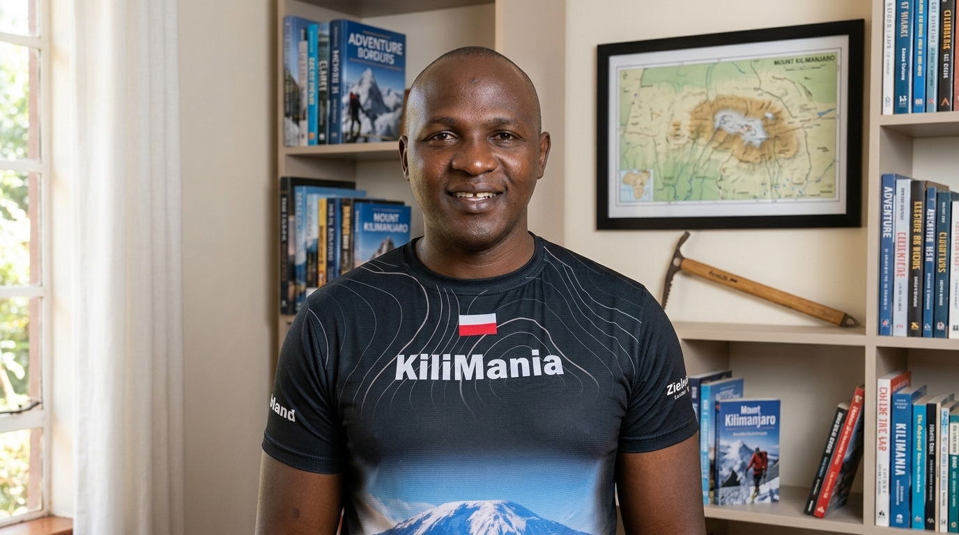
Sabinus Msimba
Senior Kilimanjaro Guide, Kilimania Adventure
22 years guiding on Mount Kilimanjaro and 300+ personal Uhuru Peak summits. KINAPA-licensed (Mountain Climbing tour guide licence No. 044395, valid 1 January to 31 December 2026).
Field observations on this page come from guiding experience and are not meteorological data.