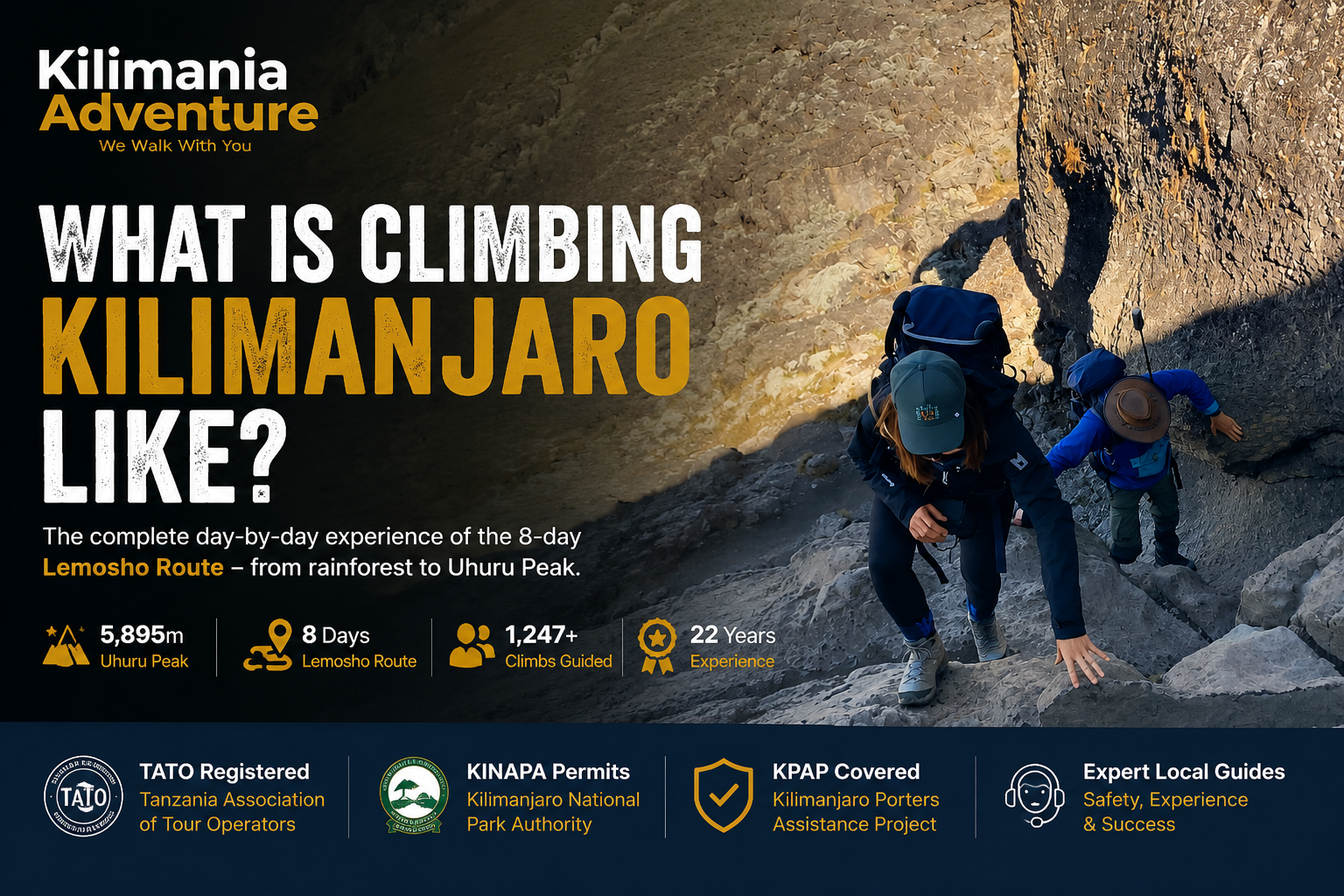
What Is Climbing Kilimanjaro Actually Like? A Day-by-Day Reality Guide
Data sources cited in this article: TANAPA route and fee schedules, KPAP porter guidelines, and Kilimania’s internal climb records. Route timings, elevations, and temperatures reflect Kilimania’s own field observations; the total-expedition figure cited below is drawn from Kilimania’s operating history and is being reconfirmed against current internal records ahead of publication.
Most Kilimanjaro content describes the mountain. This article describes the experience — hour by hour, emotion by emotion, from the first step into the rainforest to the last step out of Mweka Gate.
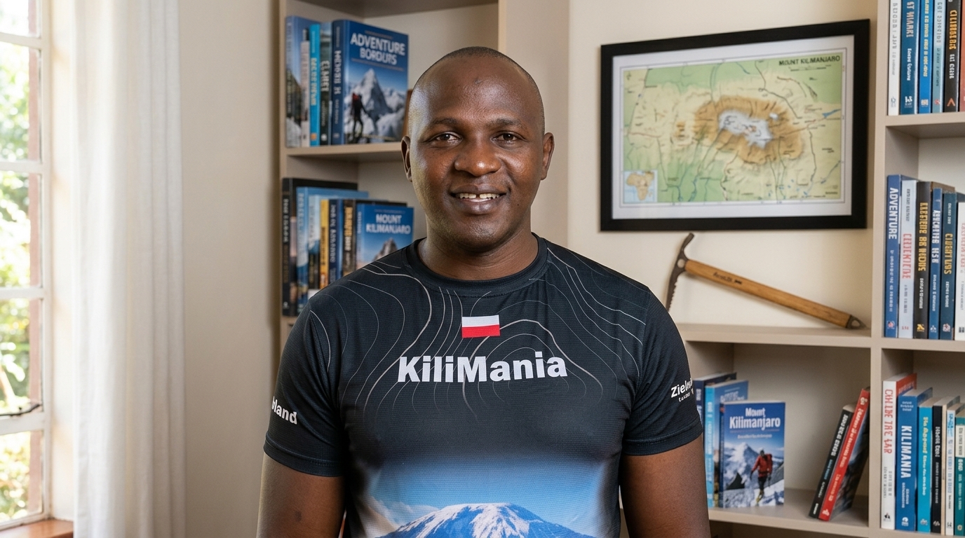
Our senior guide Sabinus Msimba has walked every day of the 8-day Lemosho Route hundreds of times over 22 years. He knows what happens at 3am on summit night when a climber’s headlamp goes dark. He knows what a person looks like when altitude is becoming dangerous before they know it themselves. He knows the moment — it happens on almost every climb — when something shifts in a climber’s face and they understand, really understand, that they are going to make it.
Here is what he sees. And what you will feel.
This is the complete day-by-day reality of climbing Kilimanjaro on the 8-day Lemosho Route — the route Kilimania recommends for most first-time climbers because of its strong acclimatization profile. Nothing here is glossed over or exaggerated. Below, every day is written from two simultaneous viewpoints: the guide’s view — what Sabinus is monitoring, checking, and deciding — and the climber’s view — what your body and mind will actually experience.
Quick Answer: Climbing Kilimanjaro on the 8-day Lemosho Route means eight days of steadily changing terrain — rainforest, moorland, alpine desert, and finally arctic summit conditions — combined with deliberate slow pacing for acclimatization, cold nights, and one demanding 18-hour summit push. It is not a technical climb, but it is a genuine test of patience, hydration discipline, and mental resilience above 4,000 metres. Most climbers who train reasonably and choose a route with proper acclimatization summit successfully; the people who struggle most are usually the ones who underestimated the descent, not the ascent. For the full route comparison, see our Kilimanjaro Routes 2026 guide.
Kilimanjaro at a Glance
The Bottom Line: An 8-day route like Lemosho gives your body the time it actually needs to adapt to altitude, which is why longer routes generally outperform 5-day itineraries. The mountain does not reward speed. It rewards patience, hydration, and a guide who is honest with you about what summit night will cost.
Before Day 1: What the Numbers Actually Mean
Quick Answer: Before your climb begins, understand that Kilimanjaro’s five climate zones require specific preparation. You’ll traverse rainforest at 25°C and summit arctic conditions at -20°C. The 3,760m elevation gain demands intentional acclimatization — this is why 8-day routes generally outperform 5-day routes.
Before the days begin, understand what you are walking into.
The Lemosho Route covers approximately 70 kilometres over 8 days. You will gain 3,760 metres of net elevation — from Londorossi Gate at 2,360m to Uhuru Peak at 5,895m. The mountain passes through five distinct climate zones: rainforest, heath and moorland, alpine desert, the glacial zone, and summit arctic. You will experience temperatures ranging from roughly +25°C in the rainforest to -20°C or colder on summit night.
| Zone | Elevation | Temperature | Vegetation |
|---|---|---|---|
| Montane Rainforest | 1,800–3,000m | 20–25°C | Dense trees, moss, monkeys |
| Heath & Moorland | 3,000–4,000m | 10–20°C | Giant heather, lobelias |
| Alpine Desert | 4,000–5,000m | 0–10°C | Sparse vegetation, lichen |
| Glacial Zone | 5,000–5,500m | -5°C to 5°C | Ice, rock, minimal life |
| Arctic Summit | 5,500–5,895m | -20°C to 0°C | Ice, snow, bare rock |
More days on the mountain means more time for your body to produce the extra red blood cells it needs to function at altitude — and more time generally means a better chance of summiting comfortably. For the full route-by-route breakdown, see Kilimanjaro Success Rate By Route.
Reality Check
What the numbers do not tell you is what any of it actually feels like. That is what the rest of this article is for.
📥 Free Download: Kilimanjaro 12-Week Training Calendar
Download the same week-by-week training plan used by Kilimania Adventure guides, built from patterns observed across many years of guided Kilimanjaro climbs.
Includes:
- 12-week hiking and endurance plan
- Pack weight progression
- Back-to-back training schedule
- Peak and taper strategy
- Route recommendations based on fitness level
Prepared by Sabinus Msimba, Senior Kilimanjaro Guide, Kilimania Adventure.
For general training guidance only — consult a physician before beginning any new exercise programme, particularly if you have an existing health condition.
Day 1: Lemosho Gate to Mti Mkubwa Camp
Elevation: 2,360m → 2,780m | Hiking time: 3–4 hours | Distance: 7km | Habitat: Montane rainforest
Quick Answer: Day 1 feels deceptively easy — 3–4 hours through montane rainforest from 2,360m to 2,780m. The trail is soft underfoot and the altitude feels irrelevant. The main challenge is fighting the urge to walk faster than your guide’s deliberate pole pole pace.
The Guide’s Morning
Sabinus is at Londorossi Gate by 7am. The climbers are still finishing breakfast at the hotel in Moshi.
This hour is not downtime. It is the operational foundation of the entire climb. The porter team has assembled — typically 25 to 35 people for a group of 8 climbers. Every duffel bag is weighed on a hand scale bolted to a wooden frame at the gate. TANAPA regulations cap porter loads at 20kg including their own personal gear, and this is enforced strictly — in line with KPAP’s guidance on ethical porter treatment. Any bag exceeding the limit gets repacked. No exceptions.
Sabinus does a final headcount and confirms the medical kit: dexamethasone, ondansetron, and a supplemental oxygen cylinder. He reviews the day’s route with the assistant guides — not because anything has changed, but because reviewing it sharpens his attention for the day ahead. By the time the group’s vehicle arrives, everything that can be controlled has been controlled.
What the Climber Experiences
The first thing that surprises most people is the bureaucracy. Registration at Londorossi Gate takes 45 to 90 minutes. There are forms. There is a queue. Park rangers check passports. Bags are weighed again. You are handed a National Park receipt that feels appropriately official for what you are about to begin.
Then the gate opens and you step into the forest.
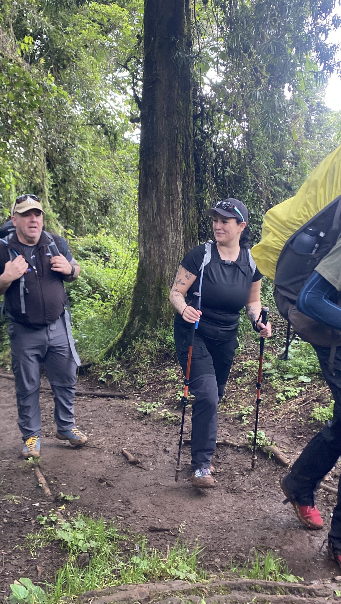
The rainforest on Day 1 is noisy in a way mountain forests rarely are — colobus monkeys crashing through the canopy above, mist moving visibly between the trees, the trail soft underfoot with decades of decomposed leaves. The air smells of wet earth and moss. The altitude at the gate, 2,360m, feels like nothing. Your legs feel strong. The guide’s pace feels frustratingly slow.
This pacing is intentional.
The Honest Challenge
Every instinct you have on Day 1 is misleading. The altitude feels irrelevant, so you want to move faster. The trail feels easy, so you want to push the gradient. The guide’s pace — pole pole, “slowly slowly” in Swahili — feels like a waste of fitness you spent months training.
This is the hardest instruction of Day 1: trust the pace. Sabinus sets a deliberate pace in the first two hours for a reason that has nothing to do with today — it has to do with Day 7. Climbers who push hard in the forest on Day 1 tend to arrive at summit night more depleted than climbers who conserved energy. Pole pole is not a cultural courtesy. It is a physiological strategy.
Expert Tip
If your guide is walking slower than feels natural, that is the correct pace — not a signal to overtake. Match your breathing to your footsteps rather than your footsteps to your fitness.
The Unexpected Highlight
About two hours into the forest, the trail bends around a ridge and the canopy thins for thirty seconds. Through the gap, above a cloud layer that typically sits around 3,000m, Kibo’s ice-capped summit appears. It is shocking how far away it looks. Most climbers stop walking entirely. Some take a photo they will later realise cannot capture what the eye saw. Then the trees close again and the summit disappears.
The Evening: Mti Mkubwa Camp (2,780m)
The camp is named for the ancient Podocarpus trees that surround it — Mti Mkubwa means “big tree” in Swahili. Temperatures drop sharply the moment the sun goes behind the ridge — from a humid 22°C to around 10°C within thirty minutes. Dinner is soup, a carbohydrate-heavy main, and fruit. Eat more than you feel like eating; you will need the reserves.
At 2,780m, your body has already started adapting — breathing rate up slightly, resting heart rate elevated. Most climbers sleep adequately tonight. A few sleep surprisingly well. Sabinus walks the camp after dark, checking for anyone with a persistent headache, the earliest pre-AMS signal worth watching.
Day 1 Summary
- Distance: 7km
- Elevation: 2,360m → 2,780m
- Biggest challenge: Trusting the slow pace
- Biggest reward: First view of Kibo through the canopy
- Altitude effect: None noticeable yet
- Guide’s priority: Setting pole pole rhythm
- Climber’s takeaway: The training you did matters
Compare this to the 7-day Machame Route →
Day 2: Mti Mkubwa to Shira 1 Camp
Elevation: 2,780m → 3,500m | Hiking time: 5–6 hours | Distance: 8km | Habitat: Heath and moorland
Quick Answer: Day 2 transitions from rainforest to heath and moorland at 3,500m. The 8km hike takes 5–6 hours through giant heather plants up to five metres tall. The altitude begins to whisper today — a mild headache may appear by lunch and fade by dinner.
The Guide’s Morning
Sabinus is up before 6am, walking the trail out of camp to check conditions — particularly important if it rained overnight, since the transition from forest to moorland can turn slippery fast. He reviews the previous night’s hydration: anyone who drank less than 3 litres gets flagged for hydration coaching at breakfast. He checks in with each assistant guide on who slept, who didn’t, and who mentioned anything unusual.
What the Climber Experiences
The forest thins within an hour. By mid-morning, you’re walking through heath and moorland — heather plants up to five metres tall, draped in old man’s beard lichen, growing out of soil that looks almost volcanic. The sky opens dramatically. Wind becomes a constant presence for the first time. The gradient is a long, steady false-flat — you gain 720m over the day, but it never feels brutal, just relentless.
By early afternoon, the Shira Plateau opens in front of you: vast, flat, and otherworldly at 3,500m. Black-and-white colobus monkeys sometimes follow groups along this stretch, curious about trekking poles.
| Normal at 3,500m | Warning Signs |
|---|---|
| Mild headache (responds to water) | Persistent headache that doesn’t ease |
| Slightly shorter breath on steep sections | Shortness of breath at rest |
| Reduced appetite | Nausea or vomiting |
| Vivid dreams (night 2–3) | Confusion or disorientation |
| Frequent waking | Irregular breathing |
The Honest Challenge
Today the altitude starts to whisper — not shout. A mild headache that arrives around lunch and fades by dinner. Slightly shorter breath on the steeper sections. An appetite that was strong yesterday and is a little duller today.
This is normal. It is altitude awareness, not altitude sickness. Altitude sickness begins when these symptoms persist or worsen overnight. Drink more water than you feel like drinking — 3 to 4 litres minimum, every day, from here on.
Altitude Warning
A headache that responds to water and rest within an hour is normal. A headache that persists after rest, hydration, and paracetamol — especially combined with nausea or loss of coordination — must be reported to your guide immediately.
The Unexpected Highlight
Shira 1 Camp at 3,500m is one of the most dramatically positioned camps on the mountain. On a clear afternoon you can see the full plateau stretching west and, on some days, the curve of the Tanzanian plains to the southwest. Most climbers arrive and simply stand still for a moment before doing anything else.
The Evening: Shira 1 Camp (3,500m)
This is the first night above the altitude where AMS becomes a realistic consideration. Mild headaches tonight should respond to water and rest. If they don’t, tell your guide — this is not a moment for stoicism. Temperatures drop to -2°C to -5°C in the dry season. Your sleeping bag rating starts to matter tonight in a way it didn’t last night.
Day 2 Summary
- Distance: 8km
- Elevation: 2,780m → 3,500m
- Biggest challenge: First altitude awareness
- Biggest reward: Shira Plateau opening ahead
- Altitude effect: Mild headache possible
- Guide’s priority: Hydration monitoring
- Climber’s takeaway: Drink 3–4 litres minimum
Read our full guide to altitude sickness on Kilimanjaro →
Day 3: Shira 1 to Shira 2 Camp (via Shira Cathedral)
Elevation: 3,500m → 3,845m | Hiking time: 4–5 hours | Distance: 10km | Habitat: High alpine moorland
Quick Answer: Day 3 crosses the Shira Plateau — a wide, volcanic landscape at 3,845m. The 10km hike takes 4–5 hours with a short diversion to Shira Cathedral (3,872m). The novelty has worn off, altitude is present, and the summit still feels five days away — this is the psychological midpoint.
The Guide’s Morning
Day 3 is shorter in elevation gain, but Sabinus uses the morning briefing to address something specific: the psychological midpoint problem. By Day 3, the novelty has worn off, the altitude is present, and the summit is still five days away. He reads this dynamic carefully — through stories, through pointing out specific landscape features, through framing the Shira Cathedral side excursion as meaningful rather than optional.
What the Climber Experiences
The Shira Plateau crossing is visually stark: a wide, largely flat volcanic plateau crossed by ancient lava flows. The short diversion to Shira Cathedral — a volcanic pinnacle at roughly 3,872m — gives you the first full view of the route ahead: Kibo’s summit directly above, Lava Tower (tomorrow’s high point) rising from the slope, and the trail you’ve already walked stretching behind you.
| Day | Common Mental State | What Helps |
|---|---|---|
| Day 1 | Excitement, novelty | Energy regulation |
| Day 2 | Curiosity, engagement | Hydration focus |
| Day 3 | Boredom, doubt | Mindfulness practice |
| Day 4 | Physical symptoms, anxiety | Trust in body |
| Day 5 | Relief, momentum | Confidence building |
| Day 6 | Anticipation, apprehension | Mental preparation |
| Day 7 | Determination, surrender | Letting go |
| Day 8 | Relief, quiet grief | Integration |
Based on patterns Sabinus and the guide team have observed across many years of climbs — a general guide, not a measured result for any individual.
The Honest Challenge
Boredom is real on Day 3. Not every moment on Kilimanjaro is cinematic. This section involves long stretches of gentle terrain that are beautiful in a subtle way but don’t supply the dramatic feedback that keeps energy high. Climbers who need constant visual stimulation find it harder than climbers who have learned to be present with simple, repetitive movement.
Did You Know?
The Giant Groundsel (Senecio kilimanjari) that first appears today grows nowhere else on Earth in this form. Some specimens are estimated to be several hundred years old — a single plant may have been growing on this exact slope since before European contact with the mountain.
The Unexpected Highlight
The first Giant Groundsels appear today — prehistoric-looking plants, four to six metres tall. Most climbers stop and stare at them the way they would stop for a large animal.
The Evening: Shira 2 Camp (3,845m)
Tonight is the first night where genuine altitude effects are common across the group — vivid dreams, frequent waking, mild headaches that persist rather than resolving quickly. Sabinus checks in with everyone before lights out, specifically: any headache that isn’t easing, any nausea, any confusion, any irregular breathing at rest.
Day 3 Summary
- Distance: 10km
- Elevation: 3,500m → 3,845m
- Biggest challenge: Psychological boredom
- Biggest reward: First Giant Groundsels
- Altitude effect: Sleep quality decreases
- Guide’s priority: Psychological assessment
- Climber’s takeaway: Learn to be present with movement
See if a beginner can realistically do this climb: Can a Beginner Climb Kilimanjaro? →
Day 4: Shira 2 Camp to Barranco Camp via Lava Tower
Elevation: 3,845m → 4,600m → 3,976m | Hiking time: 7–8 hours | Distance: 10km | Habitat: Alpine desert
Quick Answer: Day 4 is the most physiologically significant day. You climb to 4,600m at Lava Tower (the highest you’ve been) and descend to sleep at 3,976m at Barranco Camp. This “climb high, sleep low” strategy is one of the most effective acclimatization tools available on the mountain.
The Guide’s Morning
This is the most physiologically significant day of the climb, and Sabinus treats the morning briefing differently because of it. He explains exactly what is about to happen to every climber’s body, and why — climbing 755m higher than the group has ever been, eating lunch at 4,600m, then descending 624m to sleep at Barranco. This “climb high, sleep low” strategy is one of the most effective acclimatization tools available on the mountain, and it’s a core reason longer, well-designed routes tend to feel more manageable than compressed ones.
By Day 4, Sabinus has also been quietly assessing each climber’s altitude response over the past three nights — sleeping patterns, appetite, pace consistency. He has a working sense of each person’s tolerance, and he adjusts how closely he monitors each individual accordingly.
What the Climber Experiences
The morning section climbs steadily through alpine desert — sparse tussock grass, lichen-covered rock, the gradient increasing the whole way. Lava Tower itself, at 4,600m, is a black volcanic plug roughly 300 metres tall that rises from the ridge like a geological fist. Most groups stop here for lunch.
This is where the day becomes honest with you. At 4,600m, many climbers feel at least one altitude symptom: a headache that sits behind the eyes and doesn’t move when you tilt your head, nausea, light-headedness, or a fatigue that feels qualitatively different from physical tiredness.
This is not failure. It’s the entire point of the day — your body is encountering the kind of altitude it will face again on summit night, and beginning the adaptations that make summit night survivable.
| Symptom | How Common | Response |
|---|---|---|
| Headache behind the eyes | Common | Rest, hydrate |
| Nausea | Occasional | Small sips of water |
| Light-headedness | Occasional | Sitting, breathing |
| Fatigue (qualitatively different) | Very common | Slow pace, nutrition |
| Loss of appetite | Common | Eat when possible |
| No symptoms at all | Uncommon but happens | Continue careful monitoring |
Reflects general guide observation across many climbs, not a measured clinical study.
The Honest Challenge
The descent from Lava Tower to Barranco is harder than the ascent for a reason most climbers don’t expect: you feel unwell, and yet you’re going downhill, which should feel like relief and initially doesn’t. Symptoms can briefly intensify on the way down before resolving as you drop below roughly 4,200m.
By the time you reach Barranco Camp, most climbers feel dramatically — almost suspiciously — better. The appetite that vanished at the tower often returns strongly. Sabinus calls this “the gift of Barranco.” The camp at 3,976m, after the tower at 4,600m, feels like sea level even though it isn’t.
Reality Check
Feeling unwell at Lava Tower does not predict how you’ll feel on summit night. Many climbers who struggled most at 4,600m on Day 4 go on to summit strongly — the body’s adaptation response builds over several days, not in a single moment.
📥 Free Download: Kilimanjaro Altitude Symptom & AMS Checklist
Altitude illness is one of the most common reasons climbers turn around on Mount Kilimanjaro. This practical checklist is used by Senior Guide Sabinus Msimba and the Kilimania Adventure team to monitor climbers throughout every expedition. Early symptom recognition meaningfully improves safety.
- Normal acclimatization symptoms above 3,000m
- Acute Mountain Sickness (AMS) warning signs
- HACE and HAPE emergency symptoms
- Daily health monitoring form (SpO₂, pulse, hydration)
- Guide reporting and self-assessment checklist
Prepared by: Sabinus Msimba, Senior Mountain Guide, Kilimania Adventure, Moshi, Tanzania.
This checklist is for educational purposes only and does not replace professional medical advice. Climbers with pre-existing medical conditions should consult a physician before high-altitude travel.
The Unexpected Highlight
The Great Barranco Valley is one of the most extraordinary camp positions on the mountain. Barranco Camp sits at the base of a steep valley with the Barranco Wall — a 257-metre cliff face — rising directly above it. In late afternoon, when the sun hits the wall from the west, the entire face turns amber and gold. Most climbers sit outside their tents and watch it for a long time.
The Evening: Barranco Camp (3,976m)
Dinner tonight is eaten by climbers who are measurably more resilient than they were this morning. Red blood cell production has been stimulated. Sabinus watches for one specific sign tonight: a climber who was symptomatic at Lava Tower and is now symptom-free and eating well is on a good trajectory. A climber who’s still headachy and not eating gets closer monitoring overnight.
Day 4 Summary
- Distance: 10km
- Elevation: 3,845m → 4,600m → 3,976m
- Biggest challenge: Altitude symptoms at 4,600m
- Biggest reward: Great Barranco Valley sunset
- Altitude effect: Strong symptoms resolve on descent
- Guide’s priority: Monitoring individual altitude response
- Climber’s takeaway: The gift of Barranco is real
Read about altitude sickness on Kilimanjaro → | See our Lemosho Route guide for full itinerary detail →
Day 5: Barranco Camp to Karanga Camp via the Barranco Wall
Elevation: 3,976m → 4,035m | Hiking time: 4–5 hours | Distance: 5km | Habitat: Alpine desert
Quick Answer: The Barranco Wall is a 257-metre scramble — hands and feet on rock, no ropes required. It’s psychologically intense rather than technically dangerous. The 5km hike takes 4–5 hours, and the view from the top reveals the entire Barranco Valley below like a coin.
The Guide’s Morning
The guide is on the Barranco Wall before the group — not to the top, but far enough to assess conditions on the most exposed sections. After rain, the wall is wet, and wet rock demands specific footwork that Sabinus knows from hundreds of crossings. He checks the fixed rope positions (installed permanently by TANAPA) and notes where other groups are queuing, since the wall has single-file sections that bottleneck on busy mornings. By breakfast, he has a specific plan for managing the crossing.
What the Climber Experiences
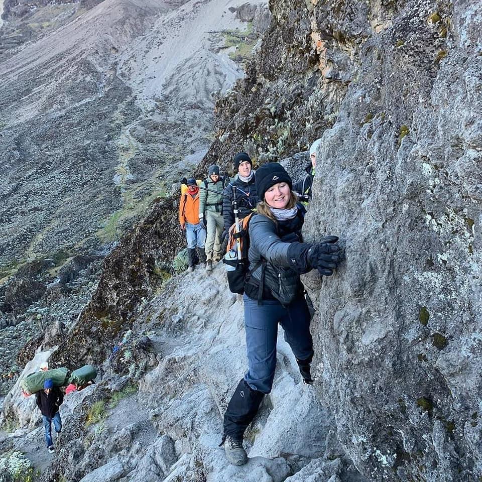
From below, the Barranco Wall looks like something that should not be on a non-technical mountain: a 257-metre cliff face at roughly 45 degrees, steepening to near-vertical in places. It is a scramble, not a climb — hands and feet on rock, no ropes or technical equipment required. But standing at the base, watching other climbers ahead look like insects against the rock, the distinction feels academic.
The wall takes 45 to 90 minutes. There’s a narrow section about 1.5 metres wide with a real drop to one side; there’s the “kissing rock” section where the trail passes close enough to the cliff that your cheek brushes it. At the top, the trail flattens and the southern slope of Kilimanjaro opens below you.
| Section | Difficulty | Experience |
|---|---|---|
| Base approach | Easy | Steepish ramp, hands not needed |
| Lower wall | Moderate | Hands on rock, clear holds |
| Narrow section | High | 1.5m wide, real drop below |
| Kissing Rock | Moderate | Lean into the cliff face |
| Upper wall | Easy | Flattening out, relief |
| Summit of wall | — | View over Barranco Valley |
The Honest Challenge
The Barranco Wall is not technically difficult for anyone with basic fitness. It is psychologically intense for many climbers, including people with significant outdoor experience. When someone freezes, here is what the guide actually does: he moves to within arm’s reach without touching unless there’s genuine danger, matches and visibly slows his own breathing, and identifies the single next placement — not the top of the wall, just the next hand, the next foot. The wall is climbed one move at a time, and the guide’s calm, communicated through hundreds of prior crossings, is sometimes enough on its own.
Common Mistake
Looking down to gauge the drop increases fear disproportionately to the actual risk. Keep your eyes on the next hold, not the exposure below — this single habit resolves most of the panic climbers feel on the wall.
The Unexpected Highlight
Partway up, the trail traverses a long horizontal ledge where the entire Barranco Valley becomes visible below — the camp you slept in reduced to the size of a coin. Almost every climber stops here, even the anxious ones. Sabinus says this is his favourite moment to watch: the instant the fear of the wall is replaced, briefly and completely, by an understanding of where you actually are.
The Evening: Karanga Camp (4,035m)
Karanga is smaller and more exposed than Barranco, perched on a ridge with real drops on two sides — and after the drama of the wall, it feels earned. Tonight is rest and consolidation. Sleep quality often improves from here for climbers who have acclimatized well. Sabinus’s evening check tonight has a different purpose: assessing summit readiness — who’s eating, who’s sleeping, who’s maintained pace.
Day 5 Summary
- Distance: 5km
- Elevation: 3,976m → 4,035m
- Biggest challenge: Psychological intensity of the wall
- Biggest reward: View from the Kissing Rock
- Altitude effect: Minimal (it’s a short day)
- Guide’s priority: Managing wall crossing safely
- Climber’s takeaway: One move at a time
See how the Barranco Wall compares across routes →
Day 6: Karanga Camp to Barafu Camp
Elevation: 4,035m → 4,673m | Hiking time: 3–4 hours | Distance: 5km | Habitat: Alpine desert
Quick Answer: Day 6 covers just 5km from 4,035m to 4,673m in 3–4 hours — but Barafu is summit base camp. The afternoon at 4,673m is the hardest mental stretch: you can’t acclimatize further, you can’t go higher, and you must eat and sleep before midnight. Even a couple of hours of genuine sleep helps.
The Guide’s Morning
Short in distance, heavy in psychological weight. Barafu is summit base camp, and summit night begins at midnight — meaning climbers have roughly 18 hours at Barafu, most of it spent trying and failing to sleep. Sabinus uses the morning to walk through exactly what tonight will involve, in logistical rather than inspirational terms: wake-up time, what and when to eat, how to layer, how much water to carry, the day’s weather briefing, and the turnaround conditions that will be enforced if necessary.
What the Climber Experiences
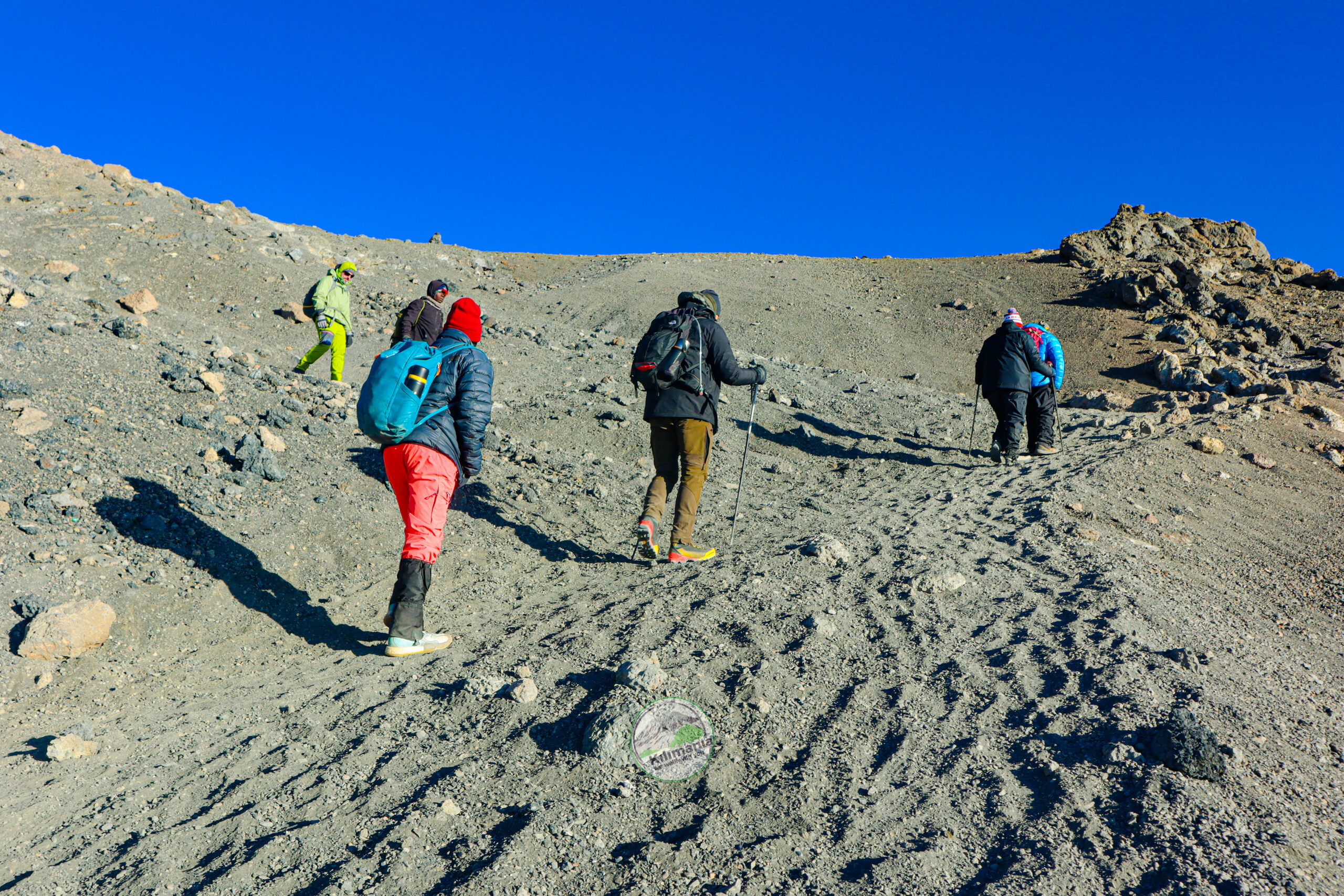
The trail from Karanga to Barafu is a relentless uphill on loose volcanic scree — grey, barren, with almost no vegetation. At roughly 4,400m, your breathing changes: not dramatically, but noticeably. Two steps, breathe. Two steps, breathe. Barafu appears as a cluster of tents on a ridge, the glaciers visible above as distinct ice formations. Barafu means “ice” in Swahili. You understand why.
| Day | Fatigue | Alertness | Appetite |
|---|---|---|---|
| Day 1 | Low | High | Strong |
| Day 2 | Low–Moderate | High | Strong |
| Day 3 | Moderate | Moderate–High | Good |
| Day 4 | Moderate–High | Moderate | Reduced |
| Day 5 | Moderate | Moderate–High | Recovering |
| Day 6 | Moderate–High | Moderate | Reduced |
| Day 7 (summit) | Very high | Low–Moderate | Suppressed |
| Day 8 | High but easing | High | Strong again |
An illustrative pattern based on guide observation, not a measured scale — everyone’s experience varies.
The Honest Challenge
The afternoon at Barafu is the hardest mental stretch of the climb for most people. You can’t acclimatize further at this altitude — you’re too high to benefit from more time here. You can’t go higher to stimulate adaptation — tonight is the one shot. You have to eat despite a suppressed appetite, and you have to try to sleep despite a small tent, thin air, and a mind running through everything that could go wrong tonight. Sabinus’s advice: eat dinner, lay out your gear exactly as it needs to be at midnight, and get into your bag by 7pm. Even a short stretch of genuine sleep is enough.
Reality Check
At 4,673m, each breath draws in noticeably less oxygen than at sea level — a widely cited effect of high-altitude physiology. Your resting breathing rate is measurably elevated even lying still. This is the body managing, not failing.
The Unexpected Highlight
The sunset from Barafu, over Mawenzi Peak, produces colours that don’t have common English names. Climbers who pause for ten minutes to actually watch it — rather than spending the time worrying — consistently describe it as one of the most significant visual moments of the entire trip.
The Evening: Barafu Camp (4,673m)
Dinner is served at 5pm, earlier than any previous night, to maximise sleep time before the midnight start. Sabinus confirms summit protocol with each climber individually one final time. Sabinus does not sleep tonight — not until he knows his group is safely on the mountain or safely back.
Day 6 Summary
- Distance: 5km
- Elevation: 4,035m → 4,673m
- Biggest challenge: Pre-summit anxiety
- Biggest reward: Sunset over Mawenzi Peak
- Altitude effect: Breathing changes noticeably
- Guide’s priority: Summit readiness assessment
- Climber’s takeaway: Eat. Sleep. Trust.
Read our full hour-by-hour summit night guide →
Day 7: Summit Night — Barafu Camp to Uhuru Peak to Mweka Camp
Elevation: 4,673m → 5,895m → 3,100m | Ascent: 6–8 hours | Descent: 7–8 hours | Distance: 5km up, 12km down | Total movement: +1,222m / -2,795m
This is the most important day of the climb. For complete hour-by-hour detail, read Kilimanjaro Summit Night: A Complete Hour-by-Hour Guide.
Quick Answer: Summit night begins at midnight from Barafu Camp (4,673m) and covers 1,222 vertical metres on loose volcanic scree in darkness, cold, and thin air. The pace is the slowest of the whole trip — one step, breathe, one step, breathe. Stella Point (5,756m) is reached 5–7 hours later, often at sunrise. Uhuru Peak (5,895m) is another 45–90 minutes along the crater rim. The descent to Mweka Camp (3,100m) takes 7–8 more hours. Total movement: 18–20 hours.
The Guide’s Night (Beginning at 11:30pm)
Sabinus is awake by 11pm. The kitchen team has hot tea and biscuits ready by 11:30pm; the wake-up call is midnight. Before that call, he has already checked the sky, the temperature, and the wind direction on the ridge above camp, confirming whether the forecast weather window is actually materialising.
He has mentally reviewed every climber: who has acclimatized most strongly, who has shown the most altitude sensitivity, who might push past their own real signals out of sheer motivation, and who has shown clear judgment under difficulty. This review determines where each guide positions in the line tonight and where the pre-agreed turnaround threshold sits for each individual.
What the Climber Experiences
The midnight alarm is the strangest alarm of your life. Dressing in a tent at 4,673m takes three times longer than it should — not from cold fingers alone, but from altitude’s subtle effect on fine motor control. By 12:30am the group is assembled at the edge of camp under a sky with more stars than most people have ever seen.
The first two hours climb volcanic scree at 35–45 degrees: two steps up, half a step of slide back. The pace is the slowest of the entire trip. One step. Breathe. One step. Breathe. Conversation stops within thirty minutes. Above 5,000m, the work of breathing becomes significant even at rest — you’re moving through noticeably thinner air than anything the earlier days prepared you for.
Sabinus watches for three specific signs: a climber who stops speaking entirely, a climber whose gait becomes irregular or who weaves on the trail (the one sign that demands immediate descent without discussion), and a climber moving mechanically with vacant eyes. Most climbers show none of these — they are simply, deeply tired.
Stella Point (5,756m) is reached five to seven hours after departure, often right as the eastern sky begins to lighten. Many climbers feel profound relief here — technically, this is the crater rim, and TANAPA’s certificate acknowledges Stella Point as a genuine achievement in its own right. If a climber’s body is clearly telling them at Stella Point that the final 139m to Uhuru is beyond what’s safe today, Sabinus says so directly. Reaching Uhuru is the goal. Getting back down safely is the requirement.
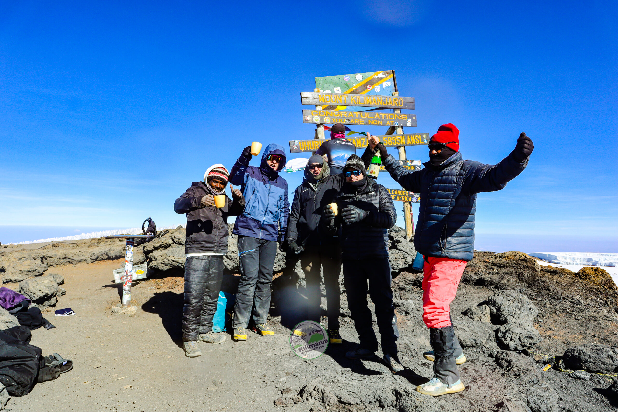
Uhuru Peak (5,895m) is another 45–90 minutes along the crater rim. The sign reads simply: Congratulations, you are now at Uhuru Peak. What happens here varies enormously by person — euphoria, silence, immediate tears, disbelief. Photograph time is roughly 15–20 minutes; this is not impatience, it’s physiology. Every additional minute at 5,895m is a minute at the body’s most challenged point.
| Metric | Value |
|---|---|
| Start time | 12:00am |
| Elevation start | 4,673m |
| Elevation finish | 5,895m |
| Vertical gain | 1,222m |
| Time to summit | 6–8 hours |
| Temperature at summit | -10°C to -20°C |
| Time at summit | 15–20 minutes |
| Descent to Barafu | 2–4 hours |
| Descent to Mweka | 2–3 hours |
| Total movement | 18–20 hours |
The Honest Challenge
The hardest part of summit night is not the ascent. It’s the descent.
After the summit, adrenaline dissipates fast. Knees that handled the ascent fine start to complain on the scree descent to Barafu — two to four hours of loose, sliding ground that some climbers find fun and most find grinding. After a 30–45 minute stop at Barafu for food and water, the group keeps descending — not to a nearby camp, but all the way down to Mweka Camp at 3,100m. Another 2–3 hours and 1,573 metres of descent on already-tired legs. By the time tents appear at Mweka, most climbers have been moving for 12 to 18 hours straight.
Altitude Warning
A climber who develops a staggering, irregular gait on summit night — distinct from ordinary fatigue — is showing a sign that requires immediate descent, no discussion, no exceptions. This is one of the few situations where guide authority overrides climber preference entirely.
The Unexpected Highlight
The sunrise from Stella Point, with the glaciers’ shadows lying long and blue across the crater rim and a sea of cloud stretching below for thousands of metres, is the moment most climbers remember more clearly than the summit sign itself.
The Evening: Mweka Camp (3,100m)
At 3,100m, breathing suddenly feels effortless again in a way it hasn’t since Day 2. For almost every climber, tonight is the deepest sleep of the entire trip — sometimes climbed into without even removing boots, which Sabinus allows on this one night only.
Day 7 Summary
- Distance: 5km up, 12km down
- Elevation: 4,673m → 5,895m → 3,100m
- Biggest challenge: The 18-hour day
- Biggest reward: Sunrise from Stella Point
- Altitude effect: Severe at 5,895m
- Guide’s priority: Safety decisions, monitoring for danger
- Climber’s takeaway: The descent is harder than the ascent
Day 8: Mweka Camp to Mweka Gate
Elevation: 3,100m → 1,640m | Hiking time: 3–4 hours | Distance: 10km | Habitat: Montane rainforest
Quick Answer: Day 8 is a 10km descent from 3,100m to 1,640m through rainforest in 3–4 hours. The trail is steep and muddy — trekking poles are essential. Mweka Gate has no arch or fanfare, just a car park and a registration desk. Most climbers feel relief, accomplishment, and a strange quiet grief all at once.
The Guide’s Morning
The final morning. Porters strike camp with the efficiency of people who’ve done this hundreds of times. Summit certificates — personalised and stamped at the TANAPA park office — are distributed at breakfast. Sabinus takes a group photo, as he has on every final morning for 22 years.
What the Climber Experiences
The descent runs through all five climate zones in reverse, ending in a rainforest denser and louder than the one you started in — the colobus monkeys are back. Mweka Gate, when it appears, announces itself with a car park and a registration desk rather than any fanfare, and the realisation that you’re suddenly back in a world with flat roads, restaurants, and hot showers.
Most climbers feel several things at once: relief, accomplishment, a strange reluctance to be finished, and — genuinely — a quiet grief. Tips are distributed to the porter team here, following KPAP guidelines; the chef who fed you at 4,673m and the assistant guide who walked behind the slowest climber every single day are part of why you made it.
Pro Advice
Bring small denomination USD bills for tipping — the crew cannot easily change large notes at the gate. See our full Kilimanjaro tipping guide for exact recommended amounts by role.
Day 8 Summary
- Distance: 10km
- Elevation: 3,100m → 1,640m
- Biggest challenge: Sore knees
- Biggest reward: Hot shower in Moshi
- Altitude effect: None (sea-level air feels easy)
- Guide’s priority: Final photographs, certificate distribution
- Climber’s takeaway: The grief of ending
See our complete Kilimanjaro tipping guide for exact amounts →
What Nobody Tells You About the Descent
Quick Answer: The descent is harder than the ascent. Your knees take a beating on 2,795m of downhill, adrenaline withdrawal creates an emotional crash 30–90 minutes after summit, and the 18-hour day is longer than most recreational climbers have ever experienced. Trekking poles meaningfully ease the load on your knees.
Most Kilimanjaro content ends at the summit photo. This is where the honest part begins.
The 18-hour day is genuine. Summit night plus the descent to Mweka Camp is the longest single movement day most recreational climbers will ever have — midnight to somewhere between 6pm and 8pm the next evening, roughly 18 to 20 hours of upright effort with one 30-minute break in the middle. Training programs that skip back-to-back long hiking days are not adequate preparation for this specific demand.
The emotional crash is genuine. Within 30 to 90 minutes of leaving the summit, many climbers experience an emotional drop disproportionate to the objective situation — the summit is reached, the hard part is over, and yet there’s a flatness, sometimes bordering on sadness, that arrives without warning. This is physiological: adrenaline withdrawal combined with extreme fatigue at altitude produces a specific state most climbers have no reference point for. Knowing it’s coming helps. It passes.
The knees are genuine. Anyone with existing patellofemoral issues will find them on the 2,795m of descent. Trekking poles meaningfully reduce strain on the knees during descent — an effect widely documented in hiking biomechanics research — and the loose scree on Kibo makes poles close to essential for anyone with knee sensitivity. See our packing list guide for specifics.
The gate moment is genuine. Mweka Gate has no arch, no finish line, no ceremony — just a car park and a table where an official stamps your certificate. The absence of external ceremony is, for most climbers, the thing that makes the internal one feel larger.
The first shower. After eight days of bathing from a small bowl of warm water and a flannel, the first hot shower back in Moshi is a genuine physiological event. Several Kilimania climbers have described it, unprompted, as one of the best moments of the entire trip — including the summit.
| Expectation | Reality |
|---|---|
| “Downhill will be easy” | 2,795m descent is hard on the knees |
| “I’ll feel great after summit” | Emotional crash is common |
| “The hard part is over” | 18-hour day isn’t over yet |
| “I’ll sleep on the descent” | Scree demands full attention |
| “Mweka Gate will feel triumphant” | It’s just a car park |
| “It’s all downhill from here” | It is — and that’s the problem |
See what happens if you don’t summit: Is Kilimanjaro Worth It? →
The Emotions Most Climbers Don’t Expect
Quick Answer: The summit often produces unexpected sobbing — common across every demographic. The descent creates an emotional drop from adrenaline withdrawal. The first hot shower in Moshi can feel remarkable. And there’s often a quiet grief on the final evening when the group that has become close is about to scatter.
From many years of climbers observed on the mountain, these are the emotional patterns that catch most people off guard.
The unexpected sobbing at the summit. This is common, and it crosses gender, nationality, age, and fitness level — including people who describe themselves as not emotional. The trigger isn’t the summit sign itself; it’s the convergence of eight days of genuine effort, genuine fear overcome, and the specific clarity that extreme altitude produces in the mind. Many climbers find themselves thinking, without intending to, of a specific person at the moment they reach the sign — a parent, a partner, someone they’ve lost. Altitude removes the noise and leaves what’s actually there.
The depression on summit-day descent. Covered above. Worth naming separately because climbers who aren’t warned about it sometimes mistake it for evidence that the summit wasn’t meaningful — which it isn’t evidence of at all.
The euphoria of the first shower. Hot water, soap, clean clothes. A mundane act becomes remarkable after eight days without it.
The strange grief of the final evening. The last dinner with the group. The last time a guide calls you by name. The mountain is behind you and the group will scatter tomorrow — there’s an ache in this that no brochure describes.
The group dynamic shift by Day 5. Strangers on Day 1 become something closer to family by Day 5, after shared exhaustion, shared altitude symptoms, and the shared experience of the Barranco Wall. The pretense dissolves in a way only shared difficulty produces.
What you feel about your guide by the end. By Day 8, the relationship between climber and guide occupies a category with no precise equivalent in ordinary life — not quite friendship, but the specific gratitude of having been in genuine danger and guided through it by someone who knew exactly what they were doing.
| Day | Expected Emotion | Unexpected Emotion |
|---|---|---|
| Day 1 | Excitement | Frustration (with pace) |
| Day 2 | Curiosity | Mild disappointment (no drama) |
| Day 3 | Boredom | Doubt (will I make it?) |
| Day 4 | Fear (altitude) | Relief (post-Lava Tower) |
| Day 5 | Achievement | Intimidation (wall) |
| Day 6 | Anxiety | Resignation (acceptance) |
| Day 7 | Determination | Euphoria AND Crash |
| Day 8 | Relief | Grief (it’s over) |
Read more honest things nobody tells you about Kilimanjaro →
Which Kilimanjaro Route Matches Your Reality?
Quick Answer: The 8-day Lemosho Route is well suited to most first-time climbers because of its strong acclimatization profile. The 7-day Machame offers strong scenery with a slightly tighter acclimatization schedule. The 9-day Northern Circuit gives the most acclimatization time of all. The 5-day Marangu costs less but leaves less margin for adjusting to altitude. Choose based on time, budget, and how much acclimatization margin you want.
| Route | Duration | Difficulty | Acclimatization Margin | Recommended For |
|---|---|---|---|---|
| Lemosho | 8 days | Moderate | Strong | Most first-time climbers — well-rounded acclimatization profile |
| Machame | 7 days | Moderate–Hard | Good | Fit hikers wanting strong scenery in fewer days |
| Marangu | 5–6 days | Moderate | Tighter | Budget climbers wanting hut accommodation |
| Northern Circuit | 9 days | Moderate | Most generous | Climbers prioritising maximum acclimatization |
| Rongai | 6 days | Moderate | Good | Climbers approaching from the north, fewer crowds |
| Shira | 7 days | Moderate | Good | Experienced hikers wanting a quieter start |
Acclimatization margin reflects the number of built-in adjustment days and elevation profile of each route, not a measured summit-rate statistic.
Pro Advice
If you can only choose one factor to prioritise, choose route length over scenery or cost. Extra acclimatization days are the single biggest lever you control over your own comfort and safety margin on the mountain.
📥 Free Download: Kilimanjaro Route Comparison Cheat Sheet
Still deciding which Kilimanjaro route is right for you? Download our free printable cheat sheet, prepared by Senior Mountain Guide Sabinus Msimba.
- ✓ Compare all major Kilimanjaro routes
- ✓ Difficulty, scenery, and crowd levels
- ✓ Guide recommendations for first-time climbers
- ✓ Updated for the 2026 climbing season
Compare every Kilimanjaro route in detail: Mount Kilimanjaro Climbing — all options →
Conclusion: The Moment That Stays
Quick Answer: After 22 years and hundreds of summit climbs, Sabinus Msimba says the moment that stays with him isn’t Uhuru Peak — it’s the sunrise from Stella Point, watching the climbers’ faces as they see it for the first time. That moment is a large part of why he still guides.
Sabinus has been asked this question many times: after 22 years of guiding, what is the moment that stays with him?
It isn’t the summit sign at Uhuru Peak — he’s seen it enough times that the altitude no longer affects him the way it once did, though he still finds it beautiful in other ways. The moment is earlier, at Stella Point, on the crater rim, at first light. Not every climb has this; the timing has to be right and the weather has to cooperate. But when it happens: the group crests the rim in darkness, gasping from the final push, and the eastern sky — black when they started — turns first grey, then a line of gold, then a full sunrise over a cloud layer two thousand metres below, with the shadows of the mountain’s two remaining glaciers lying long and blue across the crater.
“Every time, I look at the climbers’ faces when they see this. Not at the sunrise. At the faces. Because the sunrise is always the same, and the faces are always different. That’s the thing I still find moving.”
Guide Insight
Sabinus says he has watched climbers who described themselves as “not emotional people” stand at Stella Point and cry without warning. His read after 22 years: altitude strips the noise away. What’s left is whatever was actually there. The mountain doesn’t create the emotion — it just removes what was covering it.
If you’re still weighing whether this is the climb for you, that’s a normal place to be — and it’s exactly what we’re here to talk through. For full planning detail — costs, gear, and route selection — start with our Climbing Kilimanjaro Guide 2026.
We Walk With You.
Plan Your Kilimanjaro Climb — Get a Fast Quote
Tell us your travel dates, number of travelers, and route preference. We return a full itemised quote within 12 hours — park fees by park and by day, complete inclusion and exclusion list, no costs discovered at the gate.
Verify us independently before you book:
FAQ: What Is It Like to Climb Kilimanjaro?
What does it physically feel like to climb Kilimanjaro?
It feels different on each of the 8 days. Days 1–3 feel like a demanding but manageable hike with growing altitude awareness. Day 4 brings the first noticeable altitude symptoms at 4,600m — headache, nausea, fatigue — which resolve on descent to camp. Summit night on Day 7 is the most intense: 6–8 hours of slow uphill on thin air between -10°C and -20°C, followed immediately by a long descent.
How difficult is climbing Kilimanjaro?
Kilimanjaro requires no technical climbing skill — no ropes, no ice axes, no prior mountaineering experience. The difficulty is physiological rather than technical: altitude, cold, and the 18–20 hour summit day. Reasonably fit adults who can hike 6–8 hours on consecutive days and follow their guide’s pace discipline can complete the climb. The people who struggle most are typically those who underestimate the descent or who choose a route too short for proper acclimatisation.
How cold does it actually get on Kilimanjaro?
At Mti Mkubwa Camp (Day 1, 2,780m) nights drop to roughly 4–8°C. At Barranco Camp (3,976m) overnight lows hit -2°C to -5°C. At Barafu Camp (4,673m), -8°C to -12°C is typical. On summit night, wind chill at Uhuru Peak can push the effective temperature to -20°C or colder. See our Kilimanjaro packing list for layering by altitude.
Can a beginner climb Kilimanjaro on the Lemosho Route?
Yes. Lemosho requires no technical climbing skill — only reasonable fitness, the discipline to follow the guide’s pace, and proper acclimatization, which the 8-day itinerary is built around. Read Can a Beginner Climb Kilimanjaro? for a fuller answer.
How long is Kilimanjaro summit night?
Summit night is 18–20 hours of continuous movement. It begins at midnight from Barafu Camp (4,673m), reaches Stella Point (5,756m) after 5–7 hours, then Uhuru Peak (5,895m) 45–90 minutes later, before a long descent all the way to Mweka Camp (3,100m). Read the full summit night guide.
What is the hardest day on the Lemosho Route?
Summit night (Day 7) is objectively hardest — 18 to 20 hours of movement, 1,222m up and 2,795m down. Many climbers find Day 4 psychologically harder, since it’s the first day altitude symptoms become noticeable and the summit still feels distant.
What does altitude feel like on Kilimanjaro?
Altitude arrives gradually. Days 1–2 feel like a normal demanding hike. By Day 3 a mild headache may arrive at lunch and fade by evening — normal altitude awareness, not sickness. Day 4 at 4,600m is where symptoms become common. On summit night above 5,000m, breathing becomes the primary effort — one step, breathe, one step, breathe.
Is the Barranco Wall dangerous?
Not technically. It’s a 257-metre scramble — hands and feet on rock, no ropes or climbing equipment required. It’s psychologically intense rather than physically dangerous, particularly for anyone uneasy with heights.
Which Kilimanjaro route is recommended for first-timers?
The 8-day Lemosho Route is well suited to most first-time climbers because of its strong acclimatization profile. The 9-day Northern Circuit offers even more acclimatization time for climbers who have it available.
What happens if you don’t summit Kilimanjaro?
If you reach Stella Point (5,756m) but not Uhuru Peak, TANAPA issues a Stella Point certificate — a genuine achievement in its own right. The guide’s assessment of your safety always overrides the goal of reaching the exact summit.
How do most climbers feel emotionally at the summit?
Highly variable. Spontaneous crying is common across every demographic. Some climbers feel euphoric, some quiet, some simply relieved. A significant number think of a specific person — without intending to — at the moment they reach the sign. Most climbers say the full emotional weight of the summit actually lands 24–48 hours later, not in the moment itself.
Do park fees and conservation charges change the total cost?
Yes — TANAPA park fees and conservation charges apply daily and are a fixed cost regardless of operator or budget tier. See our Kilimanjaro Park Fees 2026 guide for the current rate schedule, and our Kilimanjaro Cost 2026 breakdown for the full picture.
How much water do you need on Kilimanjaro?
A minimum of 3–4 litres per day from Day 2 onward, increasing to 4–5 litres on summit day. Dehydration accelerates altitude sickness symptoms and is one of the most common and preventable causes of early descent.
Do I need trekking poles for Kilimanjaro?
Trekking poles are strongly recommended, particularly for the descent, where they meaningfully reduce strain on the knees — an effect widely documented in hiking biomechanics research. On the Barranco Wall, poles are stowed and carried by a porter.
What should I pack for Kilimanjaro?
A layered clothing system covering base, mid, insulated shell and waterproof outer layers, a sleeping bag rated to at least -10°C comfort, trekking poles, a headlamp with spare batteries, and a 3–4 litre hydration system. See our full packing list.
How do I prevent altitude sickness on Kilimanjaro?
Choose a route with built-in acclimatisation days, drink 3–4 litres of water daily, walk at pole pole pace, eat even when appetite is suppressed, and report persistent symptoms to your guide immediately rather than pushing through them. Full detail in our altitude sickness guide.
Can I climb Kilimanjaro with no hiking experience?
Yes, provided you train specifically beforehand — back-to-back hiking days with a loaded pack — and choose a longer route like 8-day Lemosho or 9-day Northern Circuit for proper acclimatisation.
Is climbing Kilimanjaro worth it?
For most climbers, yes — the combination of physical achievement, the emotional intensity of summit night, and the sense of having tested genuine limits produces a result climbers consistently describe as life-defining, though the descent and cost should be weighed honestly beforehand. Read Is Kilimanjaro Worth It?
What is the Kilimanjaro climate like across the route?
The route crosses five climate zones — montane rainforest, heath and moorland, alpine desert, glacial zone, and arctic summit — with temperatures ranging from roughly +25°C at the gate to -20°C or colder at the summit.
How long does it take to climb Kilimanjaro?
The recommended Lemosho Route takes 8 days. Shorter 5–6 day routes exist but leave a tighter acclimatization margin; longer 9-day routes like the Northern Circuit offer the most acclimatization time.
What is the tipping guideline for Kilimanjaro crews?
Following KPAP guidelines, a total tip pool of roughly USD 20–30 per climber per day is standard, distributed across guides, cooks, and porters at Mweka Gate on the final day. See our full tipping guide.
Why Trust Kilimania Adventure for This Information
Quick Answer: Kilimania Adventure is a registered Tanzania tour operator based in Moshi, with 22 years of Kilimanjaro guiding experience through Senior Guide Sabinus Msimba. The company follows KPAP porter welfare guidelines and publishes honest limitations alongside its route data.
- Base: Moshi, Kilimanjaro Region, Tanzania — a physical office, not an online-only booking desk.
- TATO registration: Verify at tatotz.org.
- Kilimanjaro experience: Sabinus Msimba has guided 300+ successful summit climbs over 22 years.
- KINAPA-licensed mountain guide, Kilimania Adventure.
- Porter welfare: Kilimania climbs follow KPAP guidance on loads, wages, and equipment.
- Transparency commitment: We publish honest limitations and real route data because travelers who understand what they’re signing up for have better climbs.
Pro Advice
Before booking any Kilimanjaro operator, verify their tour-operator registration status before you book. A legitimate operator will give you their registration number without hesitation. If they cannot or will not, book elsewhere.
Safety and health information: Altitude sickness is a real risk above 3,000m and is addressed throughout this guide with specific mitigation steps; see our dedicated altitude sickness guide for symptom recognition and response. Kilimania guides carry pulse oximeters, supplemental oxygen, and emergency medication on every climb. This article is written from field experience and is not a substitute for medical advice.
Financial accuracy: Prices and fee references in this article reflect July 2026 figures from TANAPA’s published schedule. Verify current park fees at tanzaniaparks.go.tz.
Review schedule: Last reviewed . Updated each November following TANAPA’s annual tariff announcement.
For International Travelers
All Kilimania prices are quoted in USD. Conversions below are approximate and change daily — treat them as orientation only.
| USD | GBP | EUR | AUD |
|---|---|---|---|
| $1,000 | ~£780 | ~€920 | ~AU$1,500 |
| $1,800 | ~£1,400 | ~€1,680 | ~AU$2,700 |
| $2,500 | ~£1,950 | ~€2,300 | ~AU$3,750 |
| Departure City | Approx. Fare | Typical Routing |
|---|---|---|
| New York / Los Angeles | $800–$1,400 | Via Amsterdam, Doha, or Nairobi |
| London | £550–£900 | Via Amsterdam, Nairobi, or direct |
| Sydney | AU$1,400–AU$2,200 | Via Dubai, Doha, or Singapore + Nairobi |
Tanzania e-Visa
Most nationalities pay $50; US citizens pay $100. Apply online at immigration.go.tz at least 7 days before departure using a Visa or Mastercard. A yellow fever certificate is required only if arriving from an endemic country.
Accommodation in Moshi
Budget guesthouses: $20–$35/night. Mid-range hotels: $45–$80/night. Kilimania can recommend properties near our Moshi office used to early climb departure schedules.