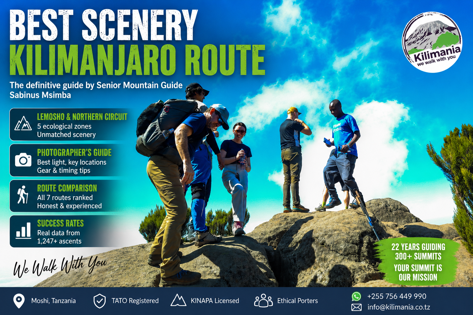
Best Scenery Kilimanjaro Route: Lemosho vs Northern Circuit
Data sources cited in this article: Kilimania Adventure guide and booking records (1,247+ ascents, 2019–2025) · TANAPA/KINAPA fee schedule 2026 · UNESCO World Heritage Centre.
Direct Answer
Lemosho (8 days) and Northern Circuit (9 days) are the two most scenic Kilimanjaro routes. Both cross all five of the mountain’s ecological zones, including the full 12km Shira Plateau traverse and the Barranco Wall — terrain the shorter routes skip. Marangu crosses only three zones on the same trail both ways and ranks last for scenery.
Quick Answer
For most climbers who want the fullest scenic experience in a practical itinerary, Lemosho 8-day is the right choice. For photographers who also want relative solitude on the upper mountain, Northern Circuit 9-day adds terrain no southern route reaches. See the full Kilimanjaro Routes guide for cost and itinerary detail.
The Bottom Line
Lemosho 8-day is the right choice for most climbers who prioritise scenery: five ecological zones, the full Shira Plateau, the Barranco Wall, and Mawenzi at sunset from Barafu, in a practical itinerary. Northern Circuit adds the remote northern face of Kibo but needs 9–10 days and a higher budget. Marangu walks the same corridor twice and is not a scenic route.
Scenic Route Ranking — All Seven Routes
| Route | Duration | Zones | Scenery | Summit Success* |
|---|---|---|---|---|
| Northern Circuit | 9 days | 5 | ★★★★★ | 96% |
| Lemosho | 8 days | 5 | ★★★★★ | 93% |
| Machame | 7 days | 4 | ★★★★☆ | 82% |
| Shira | 7 days | 4 | ★★★☆☆ | 82% |
| Rongai | 6 days | 4 | ★★★☆☆ | 67% |
| Umbwe | 6 days | 4 | ★★★☆☆ | 67%† |
| Marangu | 5 days | 3 | ★★☆☆☆ | Pending confirmation‡ |
Data Verification Notice: Success rates are Kilimania Adventure’s guided-ascent success rates by itinerary length, 2019–2025 (1,247+ ascents). *Figures apply to the itinerary duration, not every named route within that duration. †Umbwe shares the 6-day bracket average, but its steeper, more direct profile means individual results can run below this figure — Kilimania does not yet hold a route-isolated figure for Umbwe. ‡Kilimania has not isolated a 5-day-specific success figure for Marangu; publishing one would be an unsourced statistic, so none is shown here pending confirmation. Park entry is US$70 per adult per day (KINAPA), identical across all routes — see the Kilimanjaro cost breakdown for full pricing.
Kilimanjaro’s Five Ecological Zones
A route’s scenic range is not a matter of taste — it is a count of how many distinct ecological zones it crosses, and how different each transition feels underfoot. Lemosho and Northern Circuit traverse every one of the five zones. Machame crosses four. Marangu crosses three.
- 1Montane rainforest (1,800–2,800m) — podocarpus and tree heather canopy, black-and-white colobus monkeys (Colobus guereza), filtered green light
- 2Heath and moorland (2,800–4,000m) — open grassland, first long-distance view of Mount Meru, treeline crossing
- 3Alpine desert (4,000–5,000m) — Lava Tower, giant groundsels (Senecio kilimanjari), thin air and intense UV
- 4Arctic summit zone (above 5,000m) — glaciers, crater rim, scree fields, Uhuru Peak at 5,895m
- 5Volcanic transition landscapes — the Shira Plateau caldera, Barranco Valley, and the Saddle between Kibo and Mawenzi
Day by Day on Lemosho — What You Actually See
Lemosho’s 8-day itinerary moves through five ecological zones in sequence. Each day looks distinct from the one before — the point of difference from Marangu, which shows you one corridor twice.
Lemosho vs Marangu at a Glance
Lemosho 8-day: Rainforest → Heath & moorland → Shira Plateau (12km) → Alpine desert → Arctic summit. Five different visual chapters.
Marangu 5-day: Forest → Moorland → Saddle — then back through the same three zones on descent.
Londorossi Gate → Mti Mkubwa Camp (2,100m → 2,820m)
Landscape: Primary Rainforest
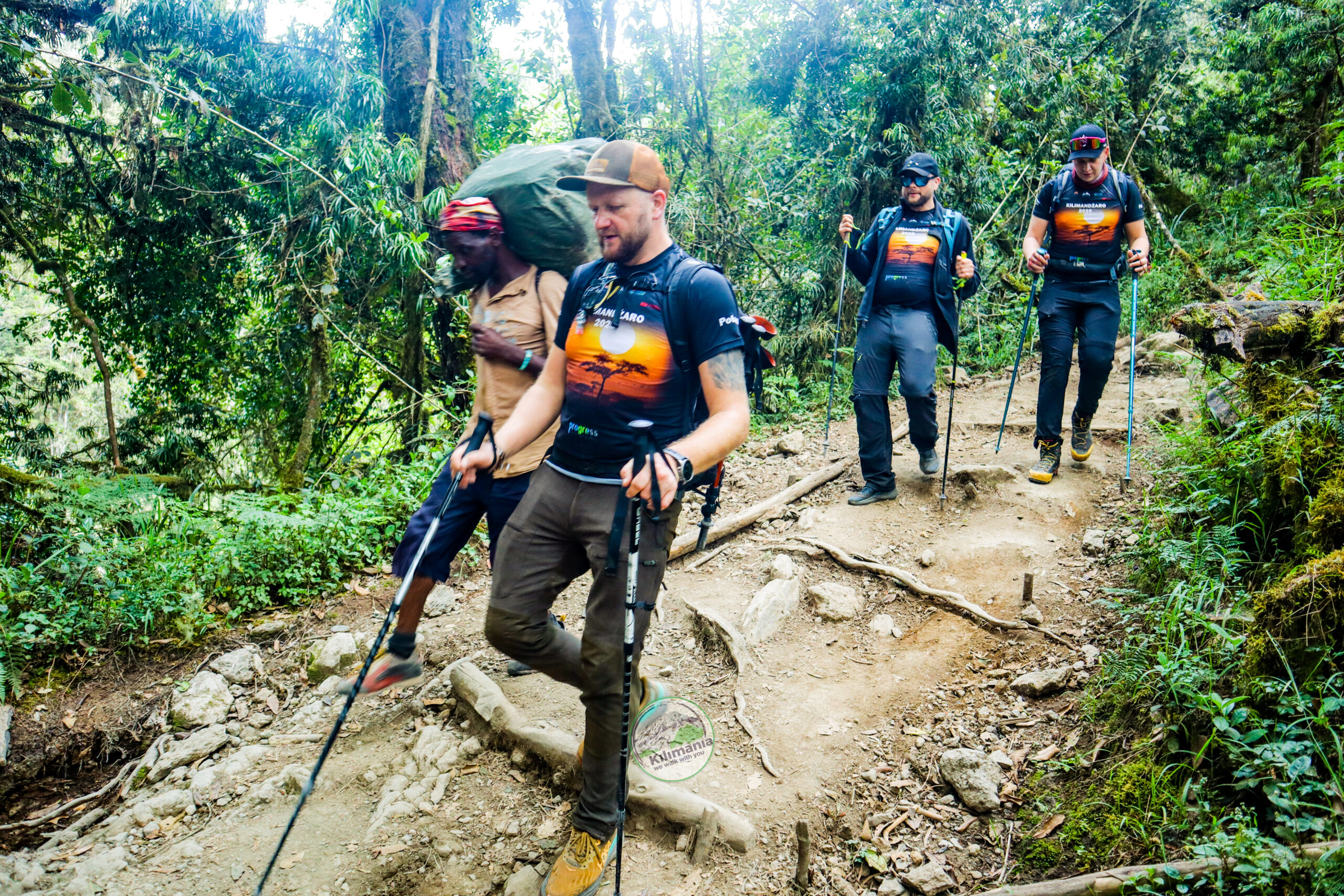
The trail closes over you within 200 metres of Londorossi Gate. Podocarpus and giant tree heather form a canopy that filters the light to muted green. Black-and-white colobus monkeys move through the upper branches 30 to 40 metres overhead — you hear them before you see them. The richest light enters in the early morning, when the sun angle throws shafts through the upper canopy.
On Day 1 you see nothing of Kibo — the mountain is fully hidden by forest. Lemosho’s pacing is deliberate: the mountain reveals itself slowly across three days.
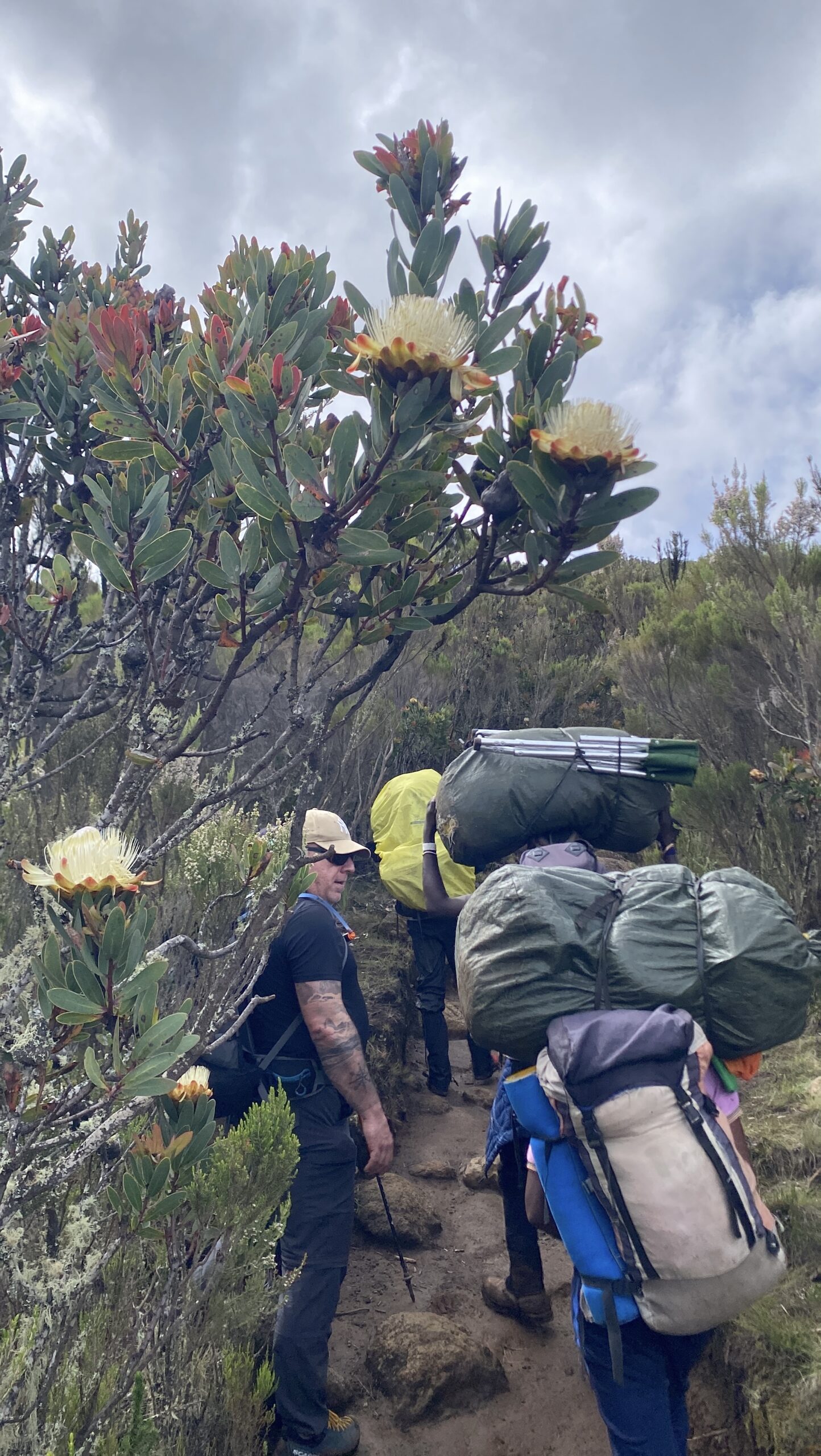
Mti Mkubwa Camp → Shira 1 Camp (2,820m → 3,505m)
Landscape: Heath and Moorland Transition
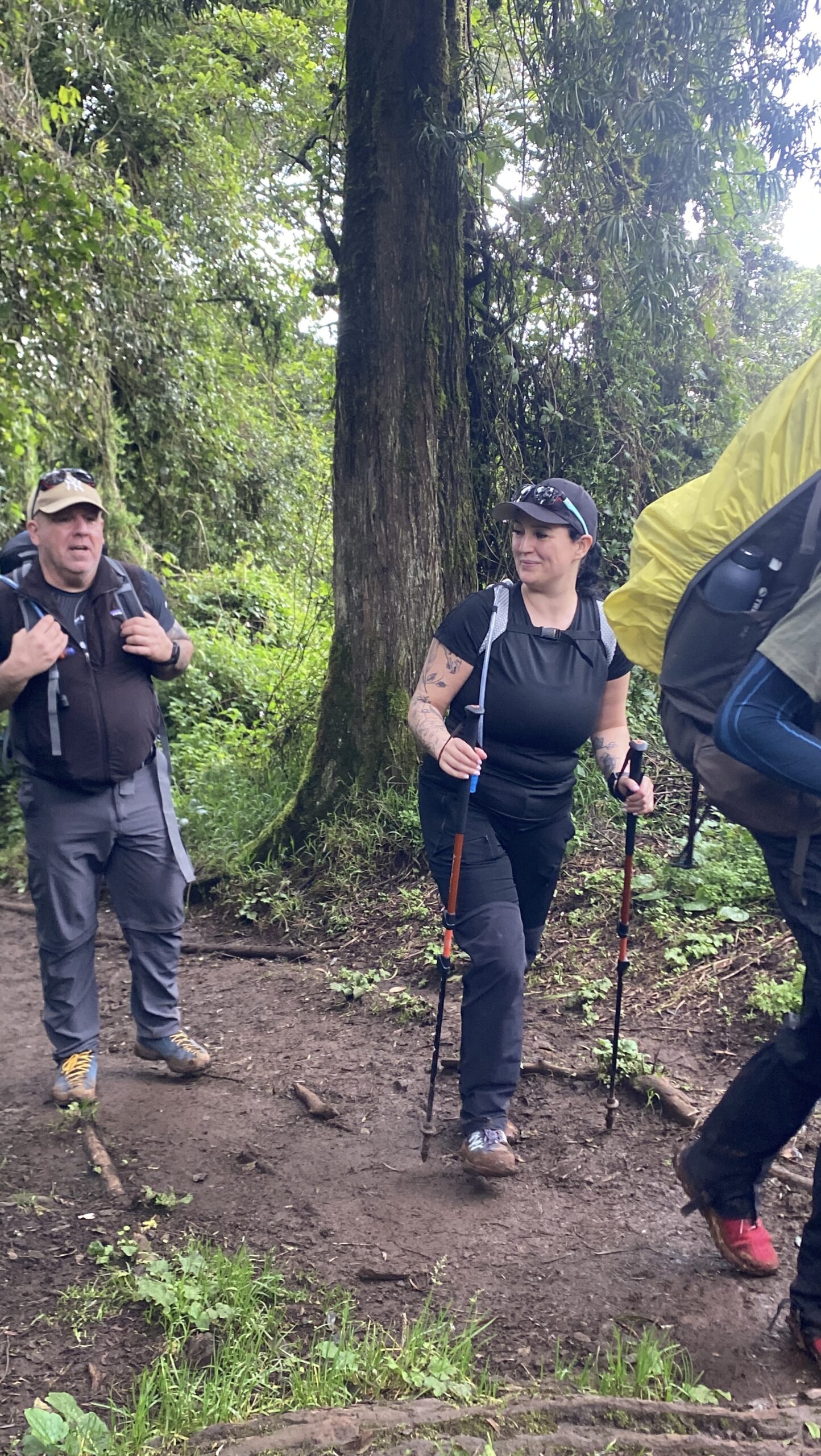
The forest thins and you cross the treeline near 3,100 metres. Within 30 minutes, Mount Meru (4,566m) appears on the western horizon — the route’s first long-distance view. The clearest Meru photograph comes late afternoon, when the light drops and the moorland grass turns copper-gold.
Shira 1 Camp → Shira 2 Camp (3,505m → 3,840m)
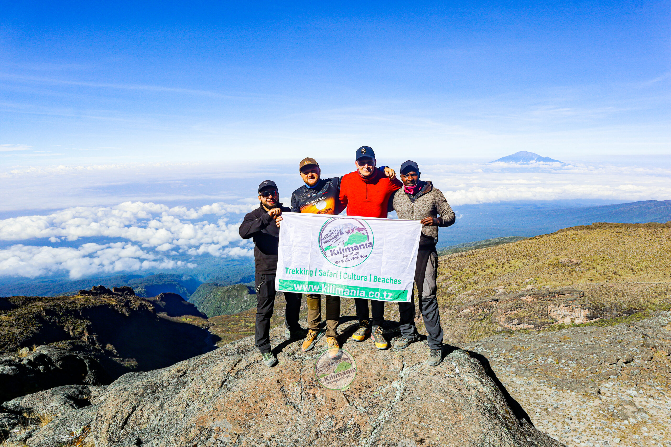
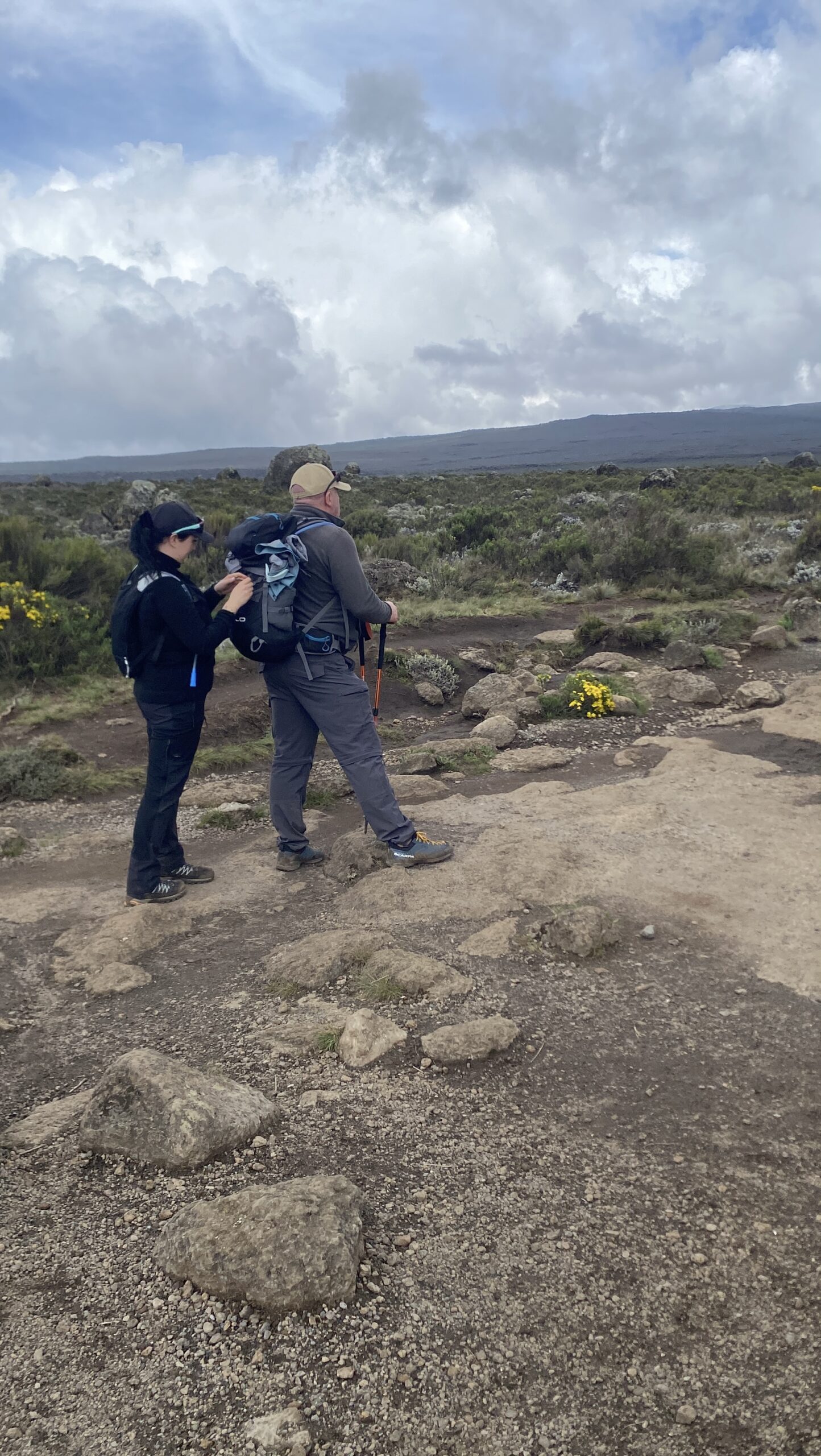
Landscape: Shira Plateau
The full width of the Shira caldera opens within the first hour — 12 kilometres across, one of the larger high-altitude volcanic formations in Africa. On a clear morning from the high point east of Shira 1 Camp, Kibo’s southern glaciers and Mount Meru are visible simultaneously, a 270-degree view unobstructed in any direction.
Shira 2 → Lava Tower → Barranco Camp (3,840m → 4,630m → 3,950m)
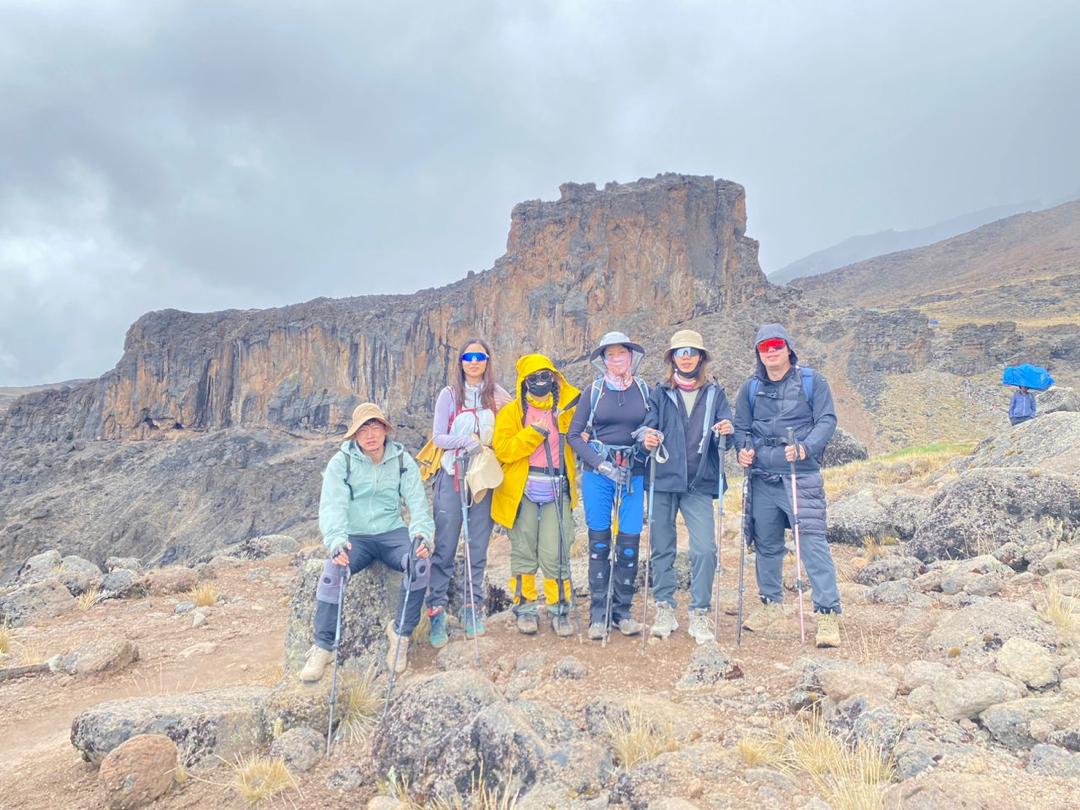
Landscape: Alpine Desert and Barranco Valley
The key acclimatisation day. You ascend to Lava Tower at 4,630 metres — a 20-metre basalt plug on barren scree — then descend 680 vertical metres to Barranco Camp, where senecio forests cover the valley floor beneath Kibo’s southern wall.
Barranco Camp → Karanga Camp (3,950m → 4,035m)
Landscape: Barranco Wall
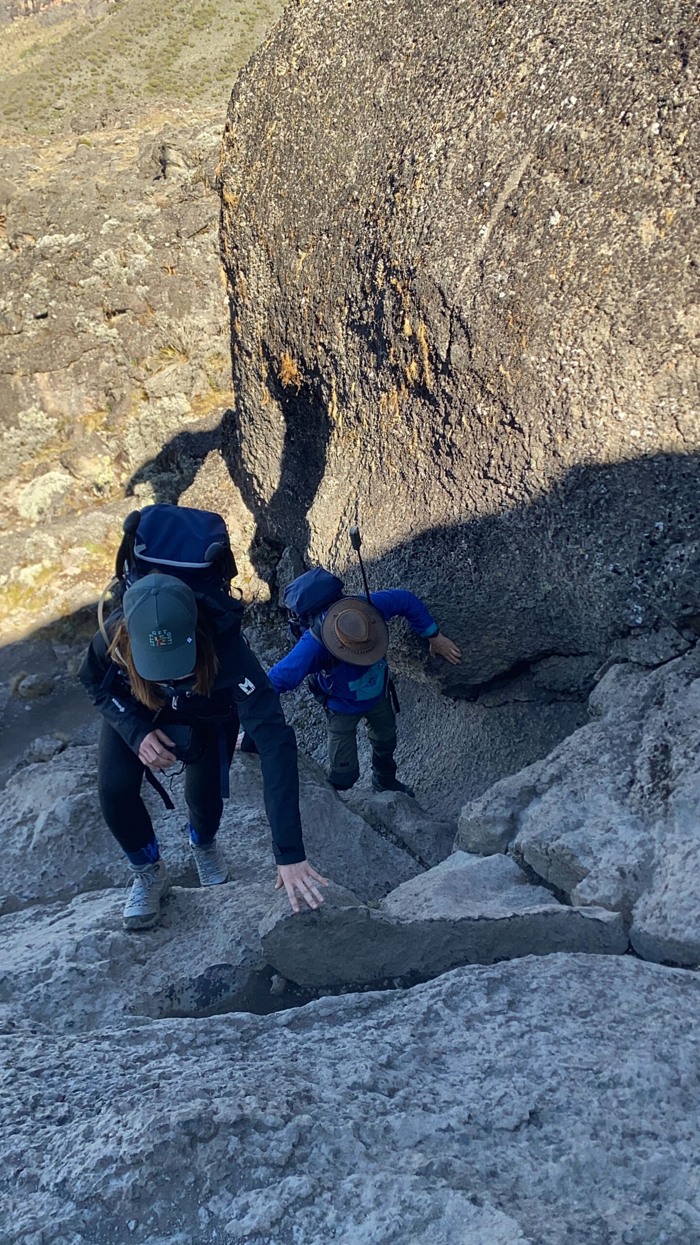
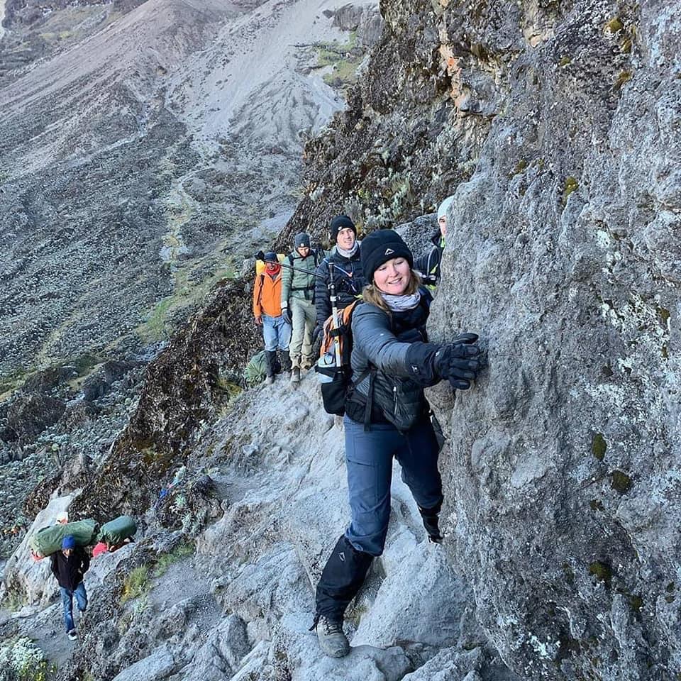
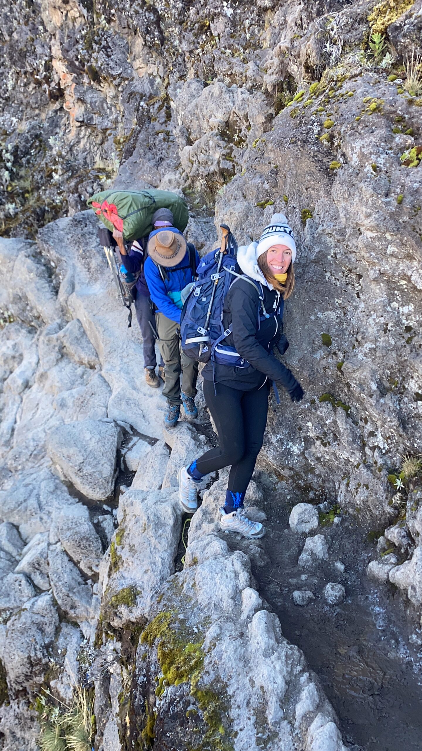
A 300-metre hands-on scramble up the cliff forming the valley’s southern boundary. The “Kissing Rock,” roughly two-thirds up, is the most reliable portrait spot on the mountain — the valley 200 metres below, glaciers overhead.
Karanga Camp → Barafu Camp (4,035m → 4,640m)
Landscape: Upper Alpine Desert
Vegetation stops near 4,100 metres. Mawenzi Peak (5,149m) fills the eastern sky. At sunset, roughly 10–12 minutes after the sun drops below the horizon, the remaining light turns Mawenzi’s rock face deep red-orange — a window that closes fast.
“Set an alarm for the Mawenzi sunset. It lasts about 12 minutes. We watch climbers miss it every season because they went inside 30 minutes too early.”— Sabinus Msimba, Senior Mountain Guide
Summit Night: Barafu → Uhuru Peak → Mweka Camp (4,640m → 5,895m → 3,100m)
Landscape: Arctic Summit
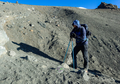
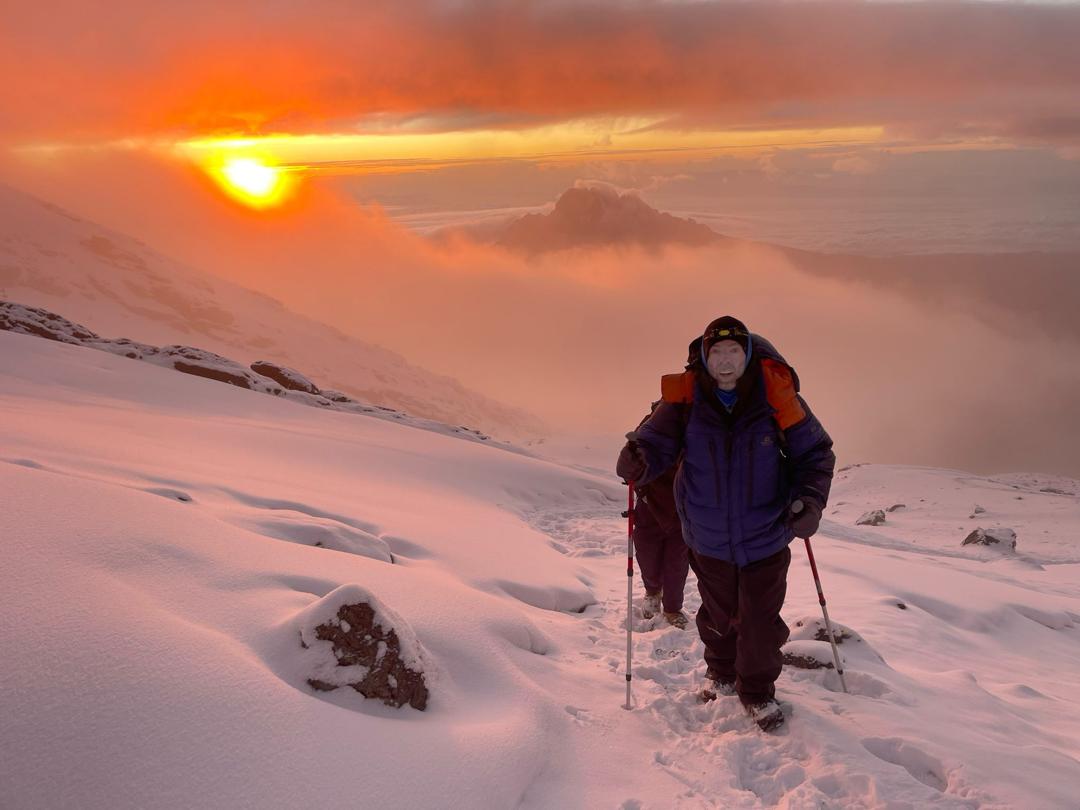
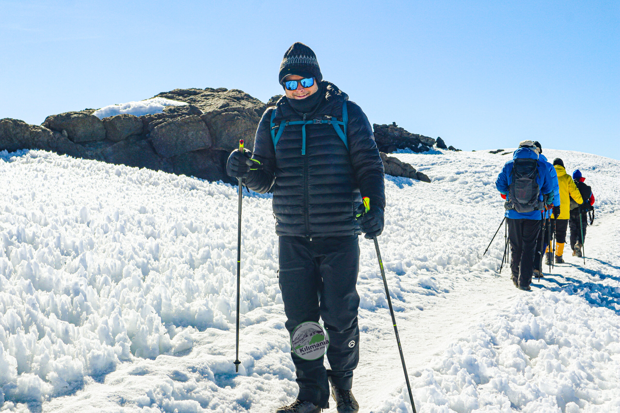
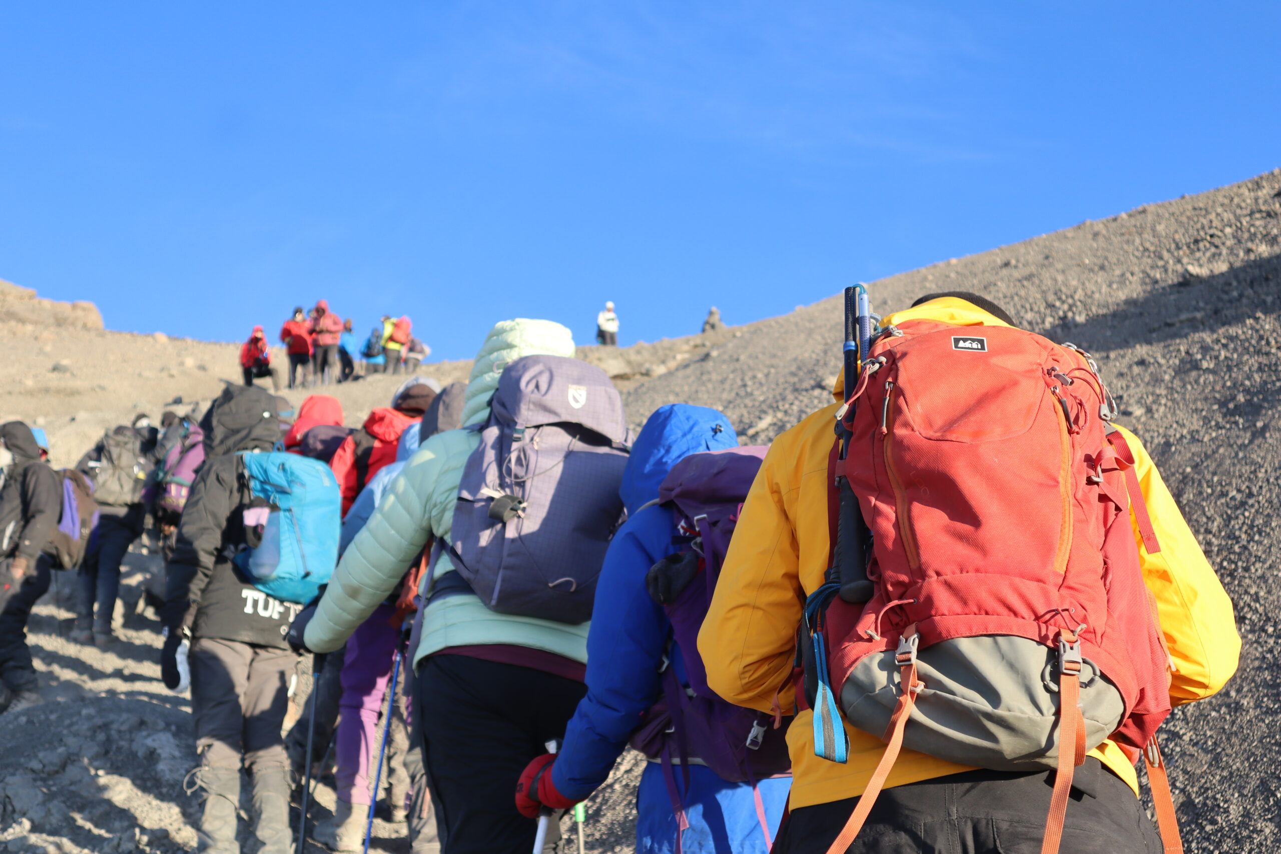
Summit night starts between 23:30 and 00:30 — around six hours on loose scree by headlamp. Stella Point (5,756m) is reached roughly 90 minutes before Uhuru Peak; sunrise from there throws a pyramid shadow across the cloud layer below for 8–10 minutes.
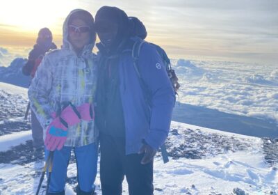
The summit glaciers are retreating year over year, based on TANAPA monitoring. From Uhuru Peak the glacier faces are close in low-angle sunrise light — a view that will look different a decade from now.
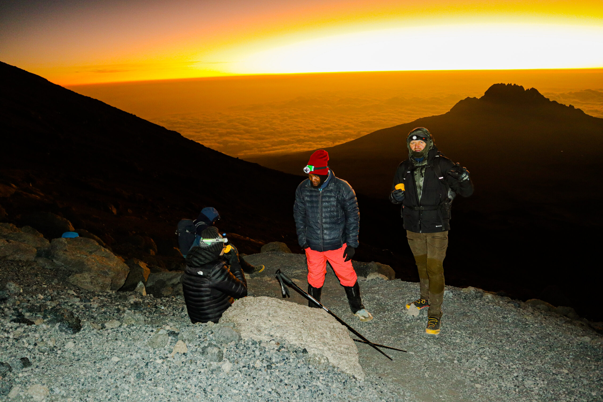
📋 Free Download: Kilimanjaro Altitude Symptom Checklist
Altitude illness is the leading reason climbers turn around on Kilimanjaro. This guide-tested checklist is used on every guided expedition from Shira Plateau to summit night.
- Normal acclimatisation symptoms above 3,000m
- Acute Mountain Sickness (AMS) warning signs
- HACE and HAPE emergency symptoms
- Daily health monitoring form (SpO₂, pulse, hydration)
- Self-assessment and guide reporting checklist
Prepared by Sabinus Msimba, Senior Mountain Guide, Moshi. Educational only — does not replace professional medical advice.
Northern Circuit 9-Day: What Days 5–9 Show You
Key Difference
Northern Circuit follows Lemosho’s route for the first four days, then turns north at Lava Tower. Days 5–9 cross Kibo’s remote northern face — terrain no southern route reaches — including a sunrise shadow phenomenon and a crater-rim summit approach via Gilman’s Point. See the Lemosho vs Northern Circuit comparison.
Lava Tower → Moir Hut (4,630m → 4,200m)
Landscape: Northwest Face of Kibo
Where Lemosho turns south, Northern Circuit turns north. From the saddle near 4,400 metres, the Rebmann and Ratzel Glaciers appear at close range — ice no southern-route climber ever sees from this angle. Moir Hut is quiet; you may share it with one or two other groups, against 150–200 climbers at Barranco during the same week.
Moir Hut → Pofu Camp (4,200m → 4,050m)
Landscape: Northern Slopes
Roughly 10 kilometres across Kilimanjaro’s northern face. To the north, the Kenyan plains extend to the horizon; Amboseli’s terrain is visible on clear mornings. At sunrise, Kibo casts a triangular shadow across the plains for 12–15 minutes — a phenomenon that occurs on no southern route.

Pofu → Third Cave → School Hut → Uhuru Peak (3,870m–5,895m)
Landscape: Eastern Slopes to the Crater Rim
Day 7: The terrain shifts to the base of the Eastern Ice Fields; Mawenzi’s eastern profile dominates the sky.
Day 8: School Hut (4,800m) sits higher than any pre-summit camp on Lemosho or Machame. At sunset, Mawenzi’s rock face turns deep red for 12–15 minutes.
Day 9: Northern Circuit summits via Gilman’s Point on the eastern crater rim, then traverses 1.5km westward to Uhuru Peak above 5,700m — a walk southern-route climbers never take. From the rim, the Furtwängler Glacier is visible from above, a perspective no Machame or Lemosho climber has.
Major Scenic Landmarks on Mount Kilimanjaro
Simultaneous Kibo and Meru views on clear mornings. The most photographically productive stretch on any route.
Close-range views from NC Day 5, a geological character entirely different from the southern ice fields.
A triangular shadow across the Kenyan plains, visible 12–15 minutes from Pofu Camp.
Hands-on scrambling with clear footholds. Kissing Rock at two-thirds height.
The “climb high, sleep low” turning point on all southern routes.
Southern-route climbers see this from below at distance; from the rim you look down onto it.
The summit sunrise window is roughly the same regardless of route — what differs is the walk to get here.
West-face alpenglow from Barafu, roughly 12 minutes after sunset.
Other Routes — Honest Assessments
Machame 7-day
The strongest scenery available in seven days — the Barranco Wall, Karanga Valley, and Lava Tower, shared with Lemosho from the Lava Tower junction onward. What Machame misses is the western approach: no Shira Plateau traverse. See the Machame vs Lemosho comparison.
Shira 7-day
Shira starts at 3,500m directly on the plateau — you drive to the trailhead at altitude, so the forest and heath zones do not exist on this route. The abrupt altitude jump makes acclimatisation issues more common. See the Shira Route guide.
Rongai 6-day
The northern approach gives Rongai a dry, open character. Mawenzi views from the eastern approach are unobstructed, but ecological variety is lower — no Barranco Wall, no Shira Plateau. Rongai is a strong choice during the long rains (March–May), when the northern approach stays drier than the southern routes. See the Rongai Route guide.
Umbwe 6-day
The steepest route on the mountain, with a dramatic lower forest ridge. The gradient defeats many climbers before the upper mountain’s scenery arrives, which is part of why it runs at or below the 6-day success-rate bracket. See the Umbwe Route guide.
Marangu 5-day
Marangu ranks last for scenery. The forest near Mandara Hut is genuinely attractive and the Saddle view toward Mawenzi is clear on good mornings, but you walk the same corridor twice, cross only three ecological zones, and see none of the Shira Plateau, Barranco Wall, or Karanga Valley. Marangu’s real advantages are lower cost and hut accommodation — not scenery. See the Marangu Route guide.
Further Reading
Why Acclimatisation and Scenery Track Together
Routes with the richest scenery tend to carry the strongest summit outcomes in Kilimania’s records. This isn’t a coincidence: routes that descend into valleys before re-ascending automatically build “climb high, sleep low” (CHSL) cycles into the itinerary. Routes that go straight up and down do not.
On Lemosho Day 4, you ascend to Lava Tower (4,630m) then descend 680 metres to Barranco Camp. That descent supports acclimatisation on the days that follow. Marangu’s five-day structure includes zero planned CHSL days.
96% success
93% success
82% success
67% success
Pending confirmation
Photography Planning
Photography Windows by Day
| Location | Window | What to Capture | Duration |
|---|---|---|---|
| Day 1 — Londorossi Forest | Early morning | Light shafts through canopy; colobus monkeys | First 2–3 hrs |
| Day 2 — Treeline crossing (~3,100m) | Late afternoon | Mount Meru against copper-gold moorland | ~45 min before sunset |
| Day 3 — Shira Plateau high point | First light 05:30–06:30 | Kibo glaciers east + Meru west simultaneously | ~20–30 min |
| Day 5 — Barranco Wall | 07:00–10:00 | Kissing Rock; three glaciers overhead | ~2 hr ascent |
| Day 6 — Barafu, facing east | 10–12 min after sunset | Mawenzi alpenglow; use 70–200mm | ~12 min |
| Day 7 — Uhuru Peak (5,895m) | First 25 min after sunrise | Glacier faces, crater rim, summit sign | ~25 min optimal |
| NC Day 6 — Pofu Camp | Exact local sunrise | Kibo shadow across Kenyan plains | ~12–15 min |
Camera Failures at Altitude
- Shutters can freeze below −15°C. Keep the body inside your down jacket until ready to shoot.
- LCD screens can crack from thermal shock. Seal a cold camera in a plastic bag before entering a warm tent.
- Touchscreens stop responding below −10°C. Switch to physical controls at Barafu while hands are still warm.
- Batteries drain faster in the cold. Use lithium, and keep spares in your sleeping bag overnight.
“Do not leave your camera at Barafu Camp. The summit sunrise lasts about 25 minutes, and you’ll be photographing glaciers that measurably shrink every year. Carry the weight.”— Sabinus Msimba, Senior Mountain Guide
Free Download: Kilimanjaro 12-Week Training Calendar
A week-by-week plan built from patterns observed across 1,247+ guided climbs.
- 12-week hiking and endurance plan
- Pack weight progression schedule
- Peak and taper strategy
Prepared by Sabinus Msimba. Educational only — consult a physician before beginning a high-altitude training programme.
Route Decision Matrix
Five ecological zones, Shira Plateau, Barranco Wall, strong acclimatisation profile.
Remote northern slopes, minimal crowds, highest recorded summit success.
Barranco Wall and Lava Tower in a shorter itinerary. Busier camps than Lemosho.
Climbing March–May. The northern approach stays drier than the southern routes.
Lowest cost, dormitory huts. Not recommended if scenery is the priority.
Steepest route, dramatic lower forest. Not recommended for first-timers.
Comparing Routes for Your Dates?
A direct conversation with an experienced guide is the fastest way forward. You’ll get an itemised quote — park fees by day, full inclusion and exclusion list — with nothing sprung on you at the gate.
Kilimania Adventure · Moshi, Kilimanjaro Region · TATO-registered · Reply within 12 hours, 7 days a week (EAT, UTC+3)
Climber Testimonials
“I am not a professional photographer, but I came home with images I now have printed. The Shira Plateau at sunrise on Day 3 was the highlight — Sabinus told us the night before to be up early, and it was worth the dark start.”— Emma v.d.B., Netherlands · Verified on TripAdvisor
“I chose Lemosho over Machame after Kilimania walked me through the route comparison. Seven versus eight days didn’t sound like much until I understood what those extra two days on the western approach actually showed us. The Shira Plateau alone was worth it.”— Marcus T., USA · Verified on Google Reviews
For International Travellers
All prices are in USD. Flights to Kilimanjaro International Airport (JRO) are served by KLM, Ethiopian Airlines, Qatar Airways, and Kenya Airways. Tanzania e-visa: US$50 for most nationalities, US$100 for US citizens — apply at immigration.go.tz at least 7 days before departure. Pre-climb accommodation in Moshi runs roughly US$35–$80 per night. See the full Kilimanjaro cost breakdown.
Free Download: Guide-Verified Packing Checklist
The exact list checked at the gate before every Kilimania climb.
- Layering list by ecological zone
- Sleeping bag temperature rating guide
- What to rent in Moshi vs bring from home
- KPAP 20kg porter load limit explained
Verified against current KINAPA gear requirements.
Verified Official Sources
- Kilimanjaro National Park (KINAPA) — official fees and regulations
- Tanzania National Parks Authority (TANAPA)
- Tanzania e-visa portal
- Tanzania Association of Tour Operators (TATO) — verify registration
- UNESCO — Kilimanjaro National Park World Heritage Site
- KPAP — Kilimanjaro Porters Assistance Project
FAQ: Best Scenery Kilimanjaro Route
Lemosho 8-day and Northern Circuit 9-day. Both cross five ecological zones, including the full Shira Plateau traverse and Barranco Wall. Northern Circuit additionally crosses Kibo’s northern face. Marangu ranks last, crossing only three zones on the same trail both ways.
Yes. Lemosho includes the full Shira Plateau traverse and a remote western approach before joining Machame’s circuit at Lava Tower. With 8 days, Lemosho is the stronger choice; with exactly 7 days, Machame is correct.
Marangu. Same trail up and down, three ecological zones, no Shira Plateau, Barranco Wall, or Karanga Valley. Its real strengths are cost and hut accommodation, not scenery.
No. Longer, more scenic routes build in more acclimatisation days, which in Kilimania’s records tracks with stronger summit outcomes, not weaker ones.
For climbers who value solitude and rare terrain, yes — it’s the only route crossing Kibo’s northern face and the crater rim. For most climbers, Lemosho delivers most of the scenic value at a lower cost and one fewer day.
June–October gives the driest conditions; July–August is best for summit clarity. December–February balances visibility with greener lower slopes and fewer crowds.
Yes. No ropes or prior mountaineering experience are required. The Barranco Wall is hands-on scrambling, not vertical climbing. The main requirement is cardiovascular endurance across multiple days at altitude.
US$70 per adult per day, set by KINAPA and identical across all routes. See the full cost breakdown.
Final Recommendation
Choose Lemosho 8-Day
…if you want the fullest scenic range in a practical itinerary: five landscape types, the full Shira Plateau, the Barranco Wall, and Mawenzi at sunset from Barafu, backed by a 93% summit success rate in Kilimania’s 2019–2025 records.
Choose Northern Circuit 9-Day
…if solitude and rare terrain matter as much as scenery. No other route shows the northern face of Kibo, the Kibo shadow, or the Furtwängler Glacier from the crater rim — with the highest recorded summit success rate in Kilimania’s data, 96%.
Marangu — Not the Route for Scenery
Marangu has real advantages: lower cost and hut accommodation. Scenic variety isn’t one of them — three zones, same trail both directions.
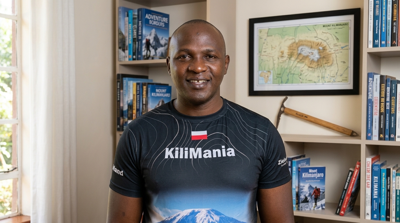
22 years guiding on Mount Kilimanjaro, 300+ summit ascents, KINAPA-licensed. All route observations in this guide are drawn from Kilimania’s own operational records across 1,247+ guided ascents between 2019 and 2025.
Ready to Choose Your Route?
Tell us your dates, group size, and budget. You’ll get a full itemised quote within 12 hours — park fees by day and a complete inclusion and exclusion list.
East Africa Time (UTC+3) · 7 days a week · Reply within 12 hours
Disclosure: This article is written by Kilimania Adventure, a TATO-registered Kilimanjaro climbing operator based in Moshi, Tanzania. We have a direct commercial interest in Kilimanjaro bookings. Route assessments reflect our own guide observations and operational records. We encourage you to compare this against at least two other TATO-registered operators before booking.
Written by: Sabinus Msimba, Senior Mountain Guide and Co-founder, Kilimania Adventure. 22 years guiding on Mount Kilimanjaro, 300+ successful summit ascents, KINAPA-licensed.
Last updated: August 2026. Fees, conditions, and visa requirements reflect verified rates as of this date. Next scheduled review: February 2027.
Safety: Altitude illness is a serious medical risk. If you experience severe headache, vomiting, loss of coordination, or confusion above 3,500m, descend immediately and notify your guide. This article is educational and does not replace professional medical advice.
Data sources: Kilimania Adventure internal climb and booking records (1,247+ guided ascents, 2019–2025) · TANAPA/KINAPA official route regulations and fee schedule 2026 · KPAP porter welfare standards · UNESCO World Heritage Centre — Kilimanjaro National Park inscribed 1987.